Hurricane Tammy has been hovering over the Caribbean region in recent days and already made landfall in Barbuda, which is one of the two major islands that make up the Caribbean country of Antigua and Barbuda. According to weather forecast updates on Monday, October 23, Tammy has been unleashing large waves in the northern Caribbean Sea and is forecast to head toward the United States by the end of the week. However, it is unclear if the hurricane will make landfall in the mainland US.
The Hurricane Tammy forecast by the National Hurricane Center (NHC) comes as Hurricane Norma made landfall in Mexico's Baja California state as a Category 1 hurricane on Saturday, October 21, before being downgraded into a tropical depression. In addition, the NHC forecast was issued after the National Weather Service (NWS) over the past week issued weather alerts regarding potential winter-like weather conditions in the Northeast US and eastern half of the country.
Hurricane Tammy Forecast
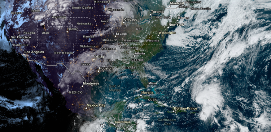
The NHC as of 5:00 a.m. AST (local time) on Monday reported that Hurricane Tammy is currently off the northeastern coasts of the Dominican Republic and Puerto Rico, where it is projected to move in a northward pattern at a speed of 10 miles per hour. Furthermore, Tammy also has a maximum sustained wind of 80 miles per hour.
The hurricane center also expects Tammy to remain over the Atlantic Ocean throughout the week until Saturday, October 28. During this period, heavy rainfall, and storm surges due to hurricane-force winds are possible. The hurricane-related weather hazards may threaten coastal areas, which can be flooded due to coastal erosion or large waves.
Dangerous marine hazards can also disrupt water-related activities across the region in the coming hours and days.
NHC Weather Forecast
Meteorologists from the NHC office in Miami, Florida, expect Hurricane Tammy to intensify in the coming days before weakening. In particular, the US hurricane monitoring agency is forecasting rain precipitation of up to 3 inches in the British Virgin Islands, Leeward Islands, and northern Windward Islands, where warnings of isolated flash flooding and mudslides have been issued.
On the other hand, the agency also mentions the presence of Tropical Storm Otis in the open waters of the Atlantic while moving towards the southern coast of Mexico.
In its public advisory at 10:00 a.m. on Monday, the NHC said that a 'Tropical Storm Watch' is in effect in areas from Lagunas de Chacahua to Tecpan de Galeana. The said watch means that tropical storm conditions are possible within the affected area, primarily within 48 hours.
The approaching storm can potentially cause large-scale disruption in the Central American country. Between late June and early July, a Category 1 Pacific hurricane, named Hurricane Beatriz, brought widespread flooding across the southwestern coast of Mexico. In recent years, deadly flooding and landslides from hurricanes were also reported in the country.
Related Article: Hurricane Tammy Seen To Cause Structural Damage In Lesser Antilles
© 2026 NatureWorldNews.com All rights reserved. Do not reproduce without permission.


