Southern US can expect possible damaging thunderstorms and heavy rain this week, according to the latest forecasts. In Texas and Mississippi Valley, a severe weather outlook can be likely.
A stormy weather outlook can return to the South-Central US. The rounds of rain will be beneficial for drought-stricken and dry areas in the region. Although cold weather is here, brief severe weather is still possible.
In the Western US, a rainy and snowy outlook can unload in the region. Meanwhile, over 100 million people in the Eastern parts of the US can feel the widespread cold this week.
In this week's weather, the possible dangers are isolated tornadoes, hail, flooding rainfall and flash flood risk. People with travel plans should consider the weather risks before going out.
Southern US Weather: Where Will Severe Weather Unload?
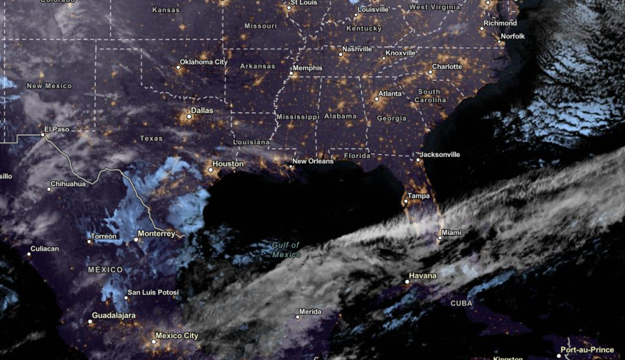
According to the National Weather Service (NWS), a new storm system can unleash severe thunderstorms and rain in parts of Texas and the Mississippi Valley in the late week.
In Southeastern Texas, residents should stay alert for a severe thunderstorm outlook. The Storm Prediction Center warned of potential thunderstorms and flash flood threats.
Central and Southern High Plains can anticipate a cooler weather outlook on Thursday. In the Four Corner region, moderate rain and snow can be likely on Wednesday.
On Thursday, the threat of stormy weather could unfold. Areas at risk are the following in the late week:
- Texas
- Illinois
- Florida
- Georgia
- Carolinas
- Little Rock
- Nashville
- Atlanta
- Montgomery
- Jacksonville
- New Orleans
- Austin
- Corpus Christi
In the Mississippi Valley, residents can expect 1 to 2 inches of rain in the region. If the roads are flooded, motorists should stay until the weather finally improves.
In the late week, homeowners should stay alert for severe thunderstorms and isolated tornadoes. The damaging winds can affect power lines and trees this week. The risk of severe thunderstorms can unload in Shreveport, Houston, lake Charles, New Orleans and Alexandria.
In Houston, the advisory warned of potential rain and severe development in the late week. Residents should stay alert for strong to severe thunderstorms.
On Wednesday, the heavy rain can spread in Memphis, Jackson and Dallas. Potential severe weather can also unfold in Southern Arkansas and Southeastern Oklahoma.
The active rainfall can unload again on the weekend in the following areas:
- Virginia Beach
- Raleigh
- Wilmington
- Charleston
- Washington
- Pittsburgh
- Charleston
- Nashville
- Atlanta
Severe Weather in Southern US: How Can People Stay Safe?
The forecast warned of a severe weather outlook in the Southern US, bringing challenging weather conditions in the affected areas. Homeowners should stay alert for flooding and isolated tornadoes, especially at night.
In addition, keeping emergency survival kits is crucial due to power outages and travel dangers.
Did You Know? Weather Facts
According to the NWS Little Rock, freezing rain and snow unloaded in Arkansas in 1958, causing power outages and travel disruption.
Related Article : Over 100 Million People in Eastern Portions of US Will Feel Widespread Cold This Week
For more similar stories, don't forget to follow Nature World News
© 2026 NatureWorldNews.com All rights reserved. Do not reproduce without permission.


