The latest weather forecast showed that a warming trend could return to the Plains and Mississippi Valley on Wednesday. The weather will become favorable for people who are not yet ready for the colder weather.
Parts of the US have experienced a blast of colder air and a widespread chilly outlook in the Eastern portions. In the Pacific Northwest, snowy conditions started earlier.
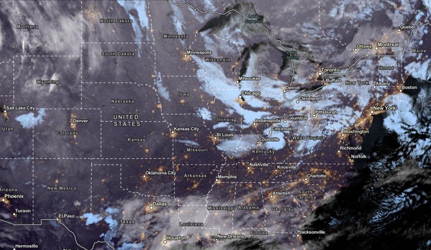
Meanwhile, the National Weather Service (NWS) monitors the active lake-effect snow in the Great Lakes. On Tuesday, residents can anticipate heavy snowfall.
Below-average temperatures are also forecast in the Midwest, East Coast and parts of Florida. However, the recent forecast showed that above-average temperatures could unfold in the Plains and Mississippi Valley this weekend.
Brief Warming Trend This Week
A warm front is forecast in the Upper Mississippi Valley. The advisory noted that a warming trend will emerge in parts of the Plains and Mississippi Valley as many Americans received the early effects of winter.
In addition, hotter weather could return to the Central Plains and Northern Plains on Tuesday. The weather will be ideal for residents who are still preparing for the extreme cold and winter.
With the warm outlook, it will be favorable for people who are returning after the Holiday and looking for outdoor activities. However, homeowners should keep alert to the changing weather conditions.
In Kansas City, residents can anticipate cool weather this midweek. On Thursday, there is a potential rain to arrive. Meanwhile, Houston can expect a dry and cool outlook with highs in the 50s.
Weather in the Western US: Where Will Storm Unload?
Meanwhile, Northern and Central California will expect rounds of rain on Wednesday. It will help add moisture to drought-stricken areas in the region.
The latest weather forecast reported a weak storm in parts of California and Northwestern US. It will bring precipitation to the regions, mixed with snow.
In Western California, the coastal storm will unleash a wetter outlook, and temperatures are likely to drop from 5 to 10 degrees Fahrenheit. Low-lying and flood-prone areas can be at risk of small flooding in the region.
In the midweek, the chance of rain is expected in Redding, San Francisco, Los Angeles and San Diego. The rain is beneficial for dry areas in California.
People with travel plans should check the weather in California and the Northwest due to slippery roads and blowing snow. On Friday, the colder outlook will unload in the following areas:
- Helena
- Spokane
- Boise
- Reno
- Elko
- Salt Lake City
- Cedar City
Homeowners should monitor the winter advisories and latest forecasts this week due to freezing rain and colder outlook.
Related Article : Over 100 Million People in Easten Portions of US Will Feel Widespread Cold This Week
For more similar stories, don't forget to follow Nature World News
© 2026 NatureWorldNews.com All rights reserved. Do not reproduce without permission.


