Residents in Wyoming and Colorado can expect slower commutes and power outages due to blowing snow and damaging winds as December comes to an end.
The weather in Colorado and Wyoming unleashed colder conditions and snow in early December. People traveling for New Year should stay updated with the weather to avoid travel headaches.
Meanwhile, the National Weather Service (NWS) warned of a major winter storm in the Upper Midwest, Central and Northern Plains in the early week. Homeowners should stay alert for heavy snow and strong winds reaching up to 55 mph.
The blizzard conditions can impact parts of Colorado, Kansas, South Dakota and Nebraska. The combination of snow and heavy rain can bring travel concerns in the affected areas.
Colorado, Wyoming Weather Forecast
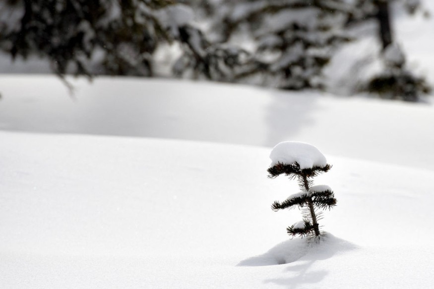
In Colorado and Wyoming, the main concerns are blowing snow and cold-related health concerns. People traveling should stay updated with the winter travel road trip safety tips by checking the road conditions or forecasts.
On Christmas Day, many Americans celebrated the Holiday with colder conditions and heavy snow in the Upper Midwest, Northern Plains and Central Plains. In the Southeast US and Midwest, the forecast warned of moderate to heavy rainfall.
In the Pacific Northwest, residents have to deal with the wintry mix conditions and strong winds. NWS Hazardous Weather warned of accumulating snow in Western and Central Wyoming, especially in Natrona County and Casper Mountain.
Meanwhile, Eastern Utah and Western Colorado can expect light snow showers in the Central Divide and Northern Divide. About 1 to 2 inches of snow is possible.
In late December, residents can expect unseasonably cool weather, including in the mountain areas. Increasing clouds and snow can be likely in the workweek.
In East and Central Wyoming, significant winter storms can unload snowfall and blizzard conditions in the region. In the Western Nebraska Panhandle, heavy snow is also likely.
Wind gusts can reach about 65 mph, especially in portions of Laramie, Sidney and Interstate 80. In the Northeast and North Central, a snowy outlook is likely in the Palmer Divide and the Kansas Border.
On Wednesday, dangerous travel conditions can unfold due to strong winds and heavy snow. About 3 to 6 inches of snow are likely. Blowing dust can cause foggy conditions and reduced visibility.
Blizzard Conditions: How Can People Stay Safe?
The forecast warned of blizzard threats in parts of Colorado and Wyoming due to strong winds and blowing snow. The worst travel outlook is very likely, especially for motorists traveling this week.
Homeowners should also keep emergency kits this week in Colorado if they become stranded due to slower commutes and power outages.
For more similar stories, don't forget to follow Nature World News
© 2026 NatureWorldNews.com All rights reserved. Do not reproduce without permission.


