The National Weather Service (NWS) warned of potential snowstorms in the Northern Rockies and Central High Plains this late week, bringing cold-related health concerns and travel disruptions.
The final days of November can unleash early snowstorms in the Northern Rockies and parts of the Pacific Northwest. In the upcoming Thanksgiving and Black Friday, millions of Americans will likely travel outside.
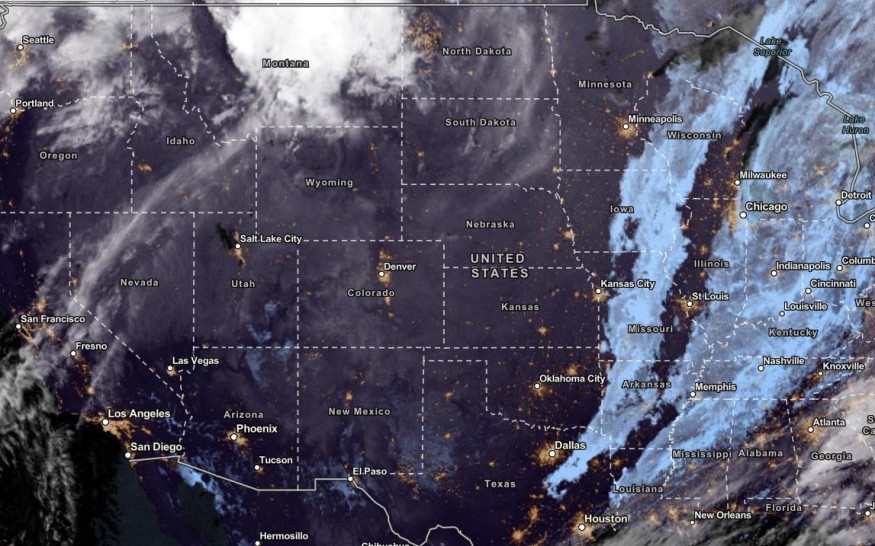
In addition, it is important to consider the weather this week in the Central High Plains and Northern Rockies due to the threat of snowstorms.
Weather in the Northern Rockies and Northern Plains
The NWS Forecast Discussion showed that the Northern Plains and Northern Rockies can expect colder temperatures this week, especially during Thanksgiving.
The snow outlook is expected to spread over parts of the Pacific Northwest on the midweek, including in parts of South Texas. In the Southeast, residents can anticipate a cooler weather outlook until the weekend.
Furthermore, the NWS Weather Prediction Center warned of a snowstorm in the Northern and Central Rockies on Wednesday. The threat could stay until the weekend. The advisory reminded motorists to stay careful while driving this week due to blowing snow, affecting roads on Interstate 25 and 80.
On the Thanksgiving Holiday, accumulating snow can reach at least 1 inch in the said areas. In Montana and Wyoming, the rounds of snow could unload.
Residents should stay updated with Winter Storm Watch this week.
The impactful snow will spread over parts of Idaho, Colorado and Utah on Thursday or Friday. The snow can unleash extreme cold, including in the Front Range Communities, Nebraska and Kansas City.
Hikers should also watch out for mountain dangers this late week. It is advisable to reschedule mountain activities due to heavy snow and snowstorm outlook on Friday.
Prolonged exposure to cold is not also recommended due to below-freezing temperatures. People should wear winter layering clothes to avoid hypothermia and frostbite.
Also Read : Warmer Trend to Snow Accumulations To Unload in Parts of Wyoming, Colorado, Utah, NWS Forecast Shows
Tornado Threat in Southeast
Meanwhile, isolated tornadoes and severe weather could hit the Southeast this late week. Americans should keep updated with flooding downpours, damaging winds and thunderstorms this late week.
The threat of severe thunderstorms could unload in the following areas:
- Richmond
- Raleigh
- Charlotte
- Columbia
- Atlanta
- Albany
- Macon
- Tallahassee
- Columbia
- Albany
The widespread severe weather outlook could cause localized power outages, travel dangers and downed trees. When the weather becomes challenging, staying at home is the best option to keep safe.
Furthermore, homeowners should stay alert for dangerous nocturnal tornadoes. Keep away from windows, doors and potential falling debris.
Related Article : Developing Area of Low Pressure To Bring Stormy Outlook in Central to Southern Plains in US This Late Week
For more similar stories, don't forget to follow Nature World News
© 2026 NatureWorldNews.com All rights reserved. Do not reproduce without permission.


