The National Weather Service (NWS) advisory showed that a warmer trend and snow accumulations could unload in portions of Wyoming, Colorado and Utah this week.
Colorado and Wyoming recorded colder temperatures and elevated fire risks due to strong winds and warm conditions. As the winter comes near, it is expected that said areas could experience challenging temperatures.
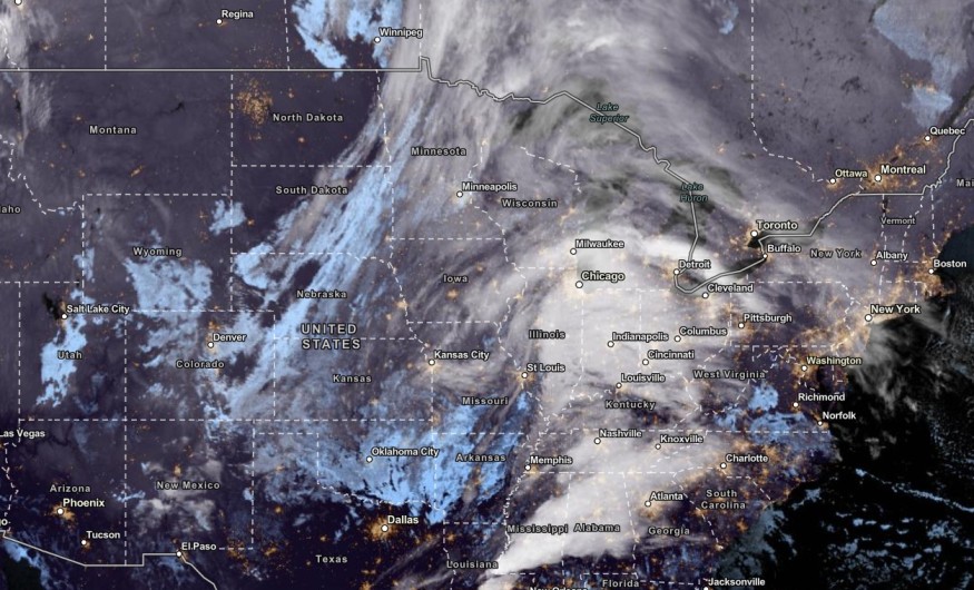
In addition, people with travel plans should check the weather outlook in two areas, including in Utah. The snow can bring slower commutes and travel hazards due to slippery roads and ice-covered areas.
Warmer Trend to Snow Accumulations: Where Will It Unload?
In the hazardous weather outlook, the NWS advisory showed that breezy conditions and lingering snow could unload in the late week.
On Monday, a snow outlook was reported in parts of the Casper Main Area.
A gusty north winds could reach from 20 to 30 mph in the Northern and Eastern areas in Wyoming. However, a return of a brief warmer trend could unload in the region on Wednesday.
The warmer trend and strong winds could raise fire concerns this week. On Thursday, a potential snowfall could unload in the region, with below-freezing temperatures.
In parts of Colorado, the latest forecast showed that light conditions could unload, including in the Palmer Divide. The snowy outlook could cause challenging driving conditions.
Residents can also anticipate scattered rain showers this week. However, strong peak gusts could unfold, reaching from 35 to 50 mph.
People are warned of blowing dust, including on I-70 and I-76.
On Wednesday, parts of Colorado can experience mild and dry conditions this week. The NWS monitors the development of a storm system.
During Thanksgiving, people can anticipate cooler temperatures this week with a chance of snow.
In parts of Utah, residents can notice unsettled weather conditions this week. Meanwhile, El Paso County and Eastern Plains can anticipate more troublesome winds.
With rains and snow, freezing rain will become possible in the early week.
Also Read: Severe Weather to Unload in Central, Eastern US; Above-Temperatures to Stay in Mid-Atlantic
Weather in Parts of Denver
In Denver, the latest weather forecast showed that residents can expect wintry weather conditions this week. The forecast warned of potential snowstorms. The heavy snow can cause extreme cold, cold-related health concerns, power outages and travel hazards.
On Thursday, the snowy outlook could unload in Casper, Denver and Idaho Falls. People with mountain plans should check for hiking dangers, especially winter storms.
In the late week, snowfall conditions could unload in Elko, Rapid City, Salt Lake City and Cedar City. Colder outlook could drop in the midweek in the following areas:
- Billings
- Rapid City
- Sioux Falls
- Scottsbluff
- Denver
- Grand Junction
- Wichita
- Salt Lake City
- Amarillo
Related Article : Southern US Weather Forecast: Tornadoes, Heavy Rain Likely This Week
For more similar stories, don't forget to follow Nature World New
© 2026 NatureWorldNews.com All rights reserved. Do not reproduce without permission.


