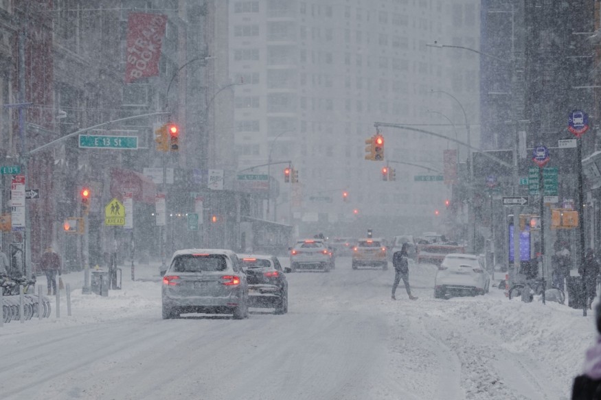
A winter storm warning was issued for Idaho, Nebraska, and their surrounding states earlier this week as a cold weather system is threatening parts of the midwestern and northwestern regions with heavy snow, gusty winds, and cold temperatures. Now, this same weather system has been forecasted to spread across the eastern states into early next week, according to the National Weather Service (NWS), which also said that there will be below-average temperatures across the United States this weekend.
The US winter storm update shows that the system can become a cross-country storm that can affect even parts of the Eastern Seaboard, a region susceptible to winter weather hazards in previous related weather events. The latest weather developments come as the US is less than a week away before its Atlantic hurricane season ends on November 30. This will pave the way for the unofficial start of the 2023 North American winter season.
US Winter Storm Update

The looming North American winter season is drawing near and serves as a reminder of its disruptive and deadly impact to the US last year, especially in Buffalo, New York, where a historic blizzard storm killed multiple people. The same scenario also occurred in its surrounding areas and the Northeast region.
Now, an early-season winter storm is heading its way to the US Atlantic Coast. According to a short-range weather forecast of the NWS' Weather Prediction Center (WPC) on Friday, November 24, thick snowfall and strong winds will lead to "hazardous travel conditions" for parts of the northern and central Rockies into the central Plains this upcoming holiday weekend. This projection will occur first before the system impact the eastern states into week.
Winter Storm Path
According to the WPC, the winter storm will continue to move in an eastward direction, passing from the Intermountain West into the central Plains through the weekend, bringing a swath of moderate to heavy snow. In addition to the initial winter storm forecast of the NWS on Thursday, November 23, the latest weather developments show that snowfall is expected from the eastern Great Basin and into the central Rockies and parts of the central High Plains.
On Thursday, the NWS winter storm warning was issued for the states of Idaho, Nebraska, Wyoming, Montana, Utah, and Colorado. However, this is not the first time that a pre-winter storm alert was given by the weather service. Last month, the US weather agency also reported the US' first major winter storm of the season, as the system targeted the northern tier of the country.
In line with the continued winter storm warning, widespread travel disruption, including road traffic and flight delays or cancelations, is possible in the coming days until Monday, November 27. Power outages are also possible as strong winds could topple power lines. Furthermore, flooding from snow melt or heavy rain can also occur in low-lying areas and communities near rivers and lakes.
© 2026 NatureWorldNews.com All rights reserved. Do not reproduce without permission.


