A National Weather Service (NWS) report announced that excessive rainfall is expected in parts of Arkansas and Missouri, causing slower commutes and travel dangers.
NWS monitors the development of an unsettled weather outlook in the central U.S., which could bring severe thunderstorms this week. Meanwhile, increasing flash flood risks can continue on weekends in central and east Oklahoma.
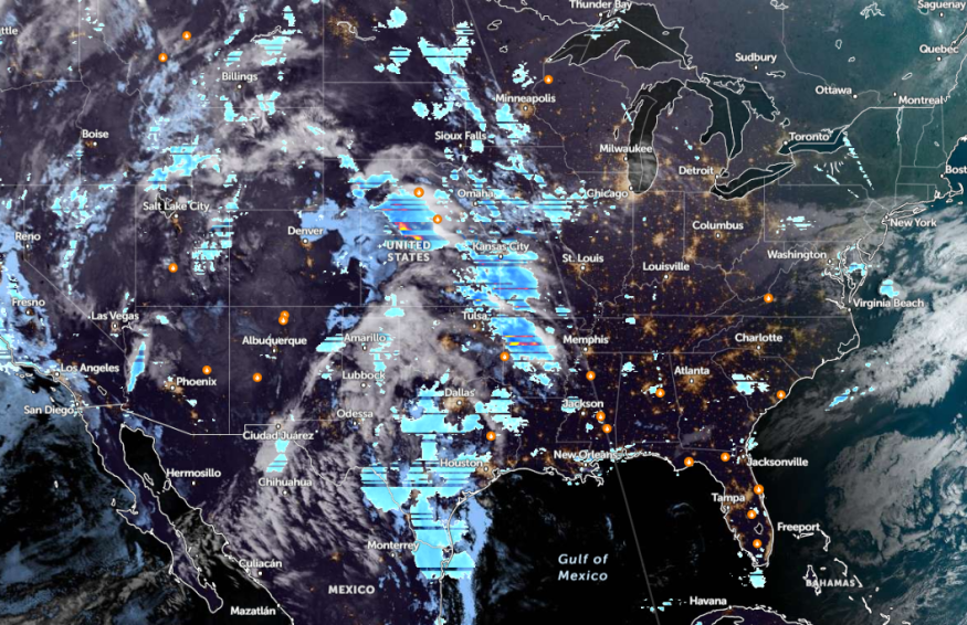
In the 7-day precipitation forecast, the NWS Weather Prediction Center warns of a weather pattern in the central U.S. until the beginning of May, with heavy rain and flooding risks. The advisory reminds commuters to keep updated with the watches and warnings, including flooded roads.
Weather in Arkansas and Missouri this week
Severe weather threats can occur this week in the central and southern Plains, causing the following:
- potential tornadoes
- strong winds
- large hail
Residents should also be alerted for potential severe wind gusts, according to the NWS Storm Prediction Center.
Northwest Arkansas and southwest Missouri will experience a slight risk of excessive rainfall this week. The weather agency is also monitoring a possible low-pressure system that could affect portions of the central Plains and Midwest on Saturday morning.
Meanwhile, NWS Little Rock reported that showers and thunderstorms could threaten parts of northern and central Arkansas. Residents should watch out for heavy downpours affecting daily commutes.
On Friday, people should stay alert for severe weather conditions in the region. Most parts of Arkansas can suffer a slight risk of severe weather, with potentially damaging winds and large hail.
For an enhanced risk for severe weather, it is likely in Western Kansas, Oklahoma, and the Eastern Texas Panhandle. Residents should keep updated with possible threats of heavy rain and scattered flash flooding.
Challenging weather conditions can spread throughout parts of the Upper Midwest and Lower Mississippi Valley. Central Plains and mid-Mississippi Valley can feel the brunt of the severe conditions.
NWS reports that the enhanced risk of severe weather can impact portions of northwest Missouri, southeast Nebraska, and northeast Arkansas.
For commuters, the entire work week can unleash weather concerns in parts of the central U.S. People should keep up to date with potential isolated tornadoes and large hail.
Read also: Oklahoma, Tennessee Valley Forecast: Stormy Conditions Likely to Affect Daily Commutes This Week
Weather in Southern High Plains and Rockies
In the southern High Plains, the NWS advisory reveals that a combination of very low relative humidity and gusty winds could occur. It can likely cause fire dangers on the weekend.
Commuters can expect blowing dust, as gusty winds could reach up to 60 mph.
In other areas, the Rockies and Great Basin can anticipate an unsettled weather outlook this week, with potentially light precipitation. In the higher elevations, there is a chance of heavy snow on Friday.
A wet weather outlook could unload in the Pacific Northwest.
For more similar stories, don't forget to follow Nature World News
© 2026 NatureWorldNews.com All rights reserved. Do not reproduce without permission.


