The Upper Midwest can expect disruptive thunderstorms this week, causing potential hail and heavy rain, according to a weather report. Motorists should keep updated with the weather to avoid potential travel dangers or hazards.
The beginning of April unleashed challenging weather conditions in parts of the US, including flooding, severe weather, and frost conditions. In the final week of the month, homeowners should keep updated with the latest forecasts, particularly if they are traveling to affected areas.
The National Weather Service (NWS) reported that isolated severe thunderstorms could unload large hail in the region. Homeowners should anticipate strong wind gusts reaching 65 mph in northwest Texas. Meanwhile, stormy conditions can occur in Lower Michigan, northern Illinois, and southwest Wisconsin.
Upper Midwest Weather Outlook This Week
In the Upper Midwest, the latest weather report warned of quick-moving and stormy conditions in the region this midweek. With cooler temperatures, the weather could change into a stormy outlook. Limiting outdoor activities is advisable to avoid the poor weather outlook this week.
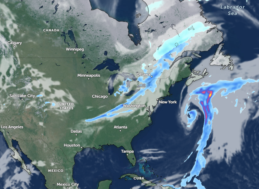
Through Wednesday, the widespread cold can reach Fargo, Sioux Falls, Omaha, Cedar Rapids, St. Louis, Indianapolis, Detroit, Buffalo, Pittsburgh, Charleston, and Montreal.
Parts of Michigan, Chicago, and Milwaukee can likely experience stormy threats. Commuters in the said areas should watch out for travel disruptions and weather dangers.
In Chicago, the latest advisory shows that developing wind gusts could unleash small hail and lightning strikes, affecting portions of Lake Michigan and Fox Valley.
In midweek, severe thunderstorms can bring hail and downpours in the following areas:
- La Crosse
- Wausau
- Green Bay
- Milwaukee
- Chicago
- Lansing
- Midland
Homeowners should anticipate the strong winds, causing potential damage to trees, home roofs, and power lines. There is also a chance that the stormy outlook in the region could become severe.
On Wednesday, widespread rain is expected in Burlington, Portland, Boston, New York, Washington, Buffalo, and Virginia Beach. Flooding risks are likely due to locally heavy thunderstorms and downpours, particularly in low-lying and flood-prone areas in the Upper Midwest.
In New York, the latest advisory shows that seasonally cool weather will be likely this week. On Saturday, there is a chance that temperatures could drop below average. Homeowners can anticipate patchy frost in interior locations.
For Boston residents, an increasing risk of showers is likely this week. On Wednesday, commuters can expect scattered showers and potential thunderstorms.
Weather Safety in the Upper Midwest
In an advisory about severe weather awareness, the NWS explains that the criteria for severe thunderstorms are the following:
- Wind gusts reaching 58 mph or greater
- Hail at least 1 inch in diameter
- or a tornado
Due to potential dangers, homeowners should stay updated with the local forecasts in the Upper Midwest. Keeping away from flooded areas or areas with a risk of tornadoes is advisable.
Additionally, household preparations are important. Having emergency supplies will help in times of evacuation or disaster.
For more similar stories, don't forget to follow Nature World News
© 2026 NatureWorldNews.com All rights reserved. Do not reproduce without permission.


