Stormy conditions with heavy rains are likely in parts of California and the Pacific Northwest this week, according to the National Weather Service. As winter is near, homeowners should stay alert for travel concerns and flooding.
This last week of November will bring rounds of rain and flash flood risks. People with travel plans should stay alert for forecasts, especially for motorists.
In other parts of the US, residents have experienced freezing and extreme cold, with some snow. In California, the rain will ease the dry and drought outlook in the region.
According to NOAA, the 2023 Atlantic Hurricane Season is expected to end on November 30 with 20 named storms.
Stormy Conditions: Where Will Rain Unload in California and the Pacific Northwest?
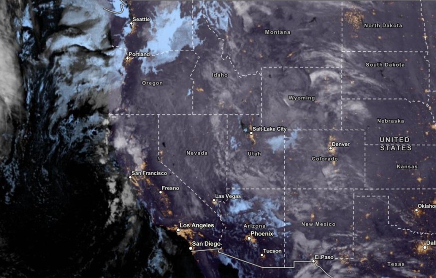
The NWS advisory showed that light coastal showers are likely from Central to Southern California coasts. Beachgoers should check for rip currents and dangerous coast conditions.
The forecast also monitors a weak Pacific system in the region. Flood-prone areas can experience small to severe flooding. Motorists should also keep away from flooded roads, and it is best to check for forecasts.
In addition, the stormy conditions are expected to impact parts of Northern California and Northwestern US in the midweek. In high-elevation areas, residents can anticipate potential mountain snow.
Snowy outlook is likely in the Sierra Nevada and Cascades this week. The temperatures over the West can reach from 30s to 40s. In California, residents can anticipate 50s and 60s temperatures.
On Wednesday, a wetter outlook is possible in Western California. The chance of rain is likely in the following areas:
- Redding
- San Francisco
- Los Angeles
- San Diego
People with outdoor plans should bring an umbrella this week due to rain chances. In the late week, the colder and rainy outlook can unload in the following areas:
- Seattle
- Portland
- Medford
- Spokane
- Helena
- Boise
- Elko
- Salt Lake City
- Elko
- Denver
- Cedar City
- Reno
- Fresno
Weather on the East Coast And Florida: What Can Americans Expect?
On the East Coast, the advisory showed that below-average temperatures are likely in the region this midweek. Meanwhile, South Georgia and the Florida Panhandle can expect freeze-related advisories this week.
Residents can feel 15 to 20 degrees below average temperatures on Wednesday. With the freezing outlook, homeowners should watch out for freezing conditions and cold-related health concerns.
The frozen outlook can affect vegetation, crops and animals. Older adults and children should avoid exposure to extreme cold this week. Hypothermia and frostbite can cause dangerous health risks.
Meanwhile, the forecast monitors the heavy lake-effect snow over the Great Lakes that can bring heavy snow to Lake Erie and Ontario.
Related Article : Over 100 Million People in Eastern Portions of US Will Feel Widespread Cold This Week
For more similar stories, don't forget to follow Nature World News
© 2026 NatureWorldNews.com All rights reserved. Do not reproduce without permission.


