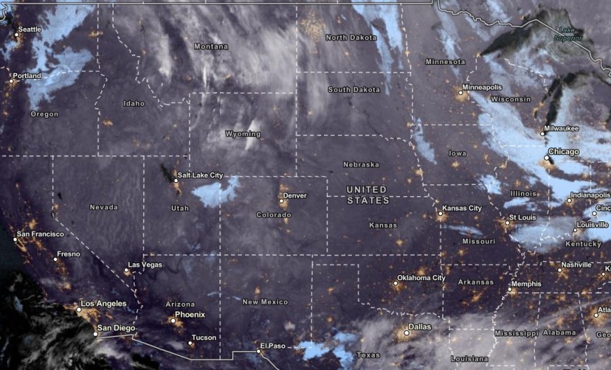
The latest weather forecast reported that strong winds and snow are likely in Colorado and Wyoming this mid-week, causing travel difficulties for motorists.
November brought colder conditions to parts of Wyoming and Colorado, including in the Pacific Northwest. In a recent advisory, over 100 million people in the Eastern portions can expect colder conditions this week.
The colder outlook also indicates the potential dangers of heavy snow and winter storms. Homeowners are reminded to stay updated with the winter advisories and forecasts in Colorado and Wyoming.
According to the NWS Cleveland, winter advisory is also present in the region, including in the Lorraine and Summit counties. People should check for heavy snow before leaving their houses.
In this week's weather, the main dangers are heavy snow, extreme cold, travel dangers and power outages. Snow squalls are also likely, particularly in the Interior Northeast.
Wyoming, Colorado: Snowy Conditions and Strong Winds
In the NWS Hazardous Weather Outlook, the advisory showed that warm and dry conditions are expected in the Northeast and North-Central Colorado this Wednesday.
The weather pattern is forecast to change on Friday with a chance of snow in high-elevation areas.
Homeowners can also anticipate the colder conditions this weekend. People should watch out for hypothermia and frostbite due to the freezing to colder outlook.
In addition, plant covering is also recommended as snow can damage plants and crops. Recently, a winter storm was forecast to bring heavy snow to parts of Wyoming, Colorado, Rockies, Kansas, Oklahoma and Utah.
In parts of Wyoming, strong winds will likely return in the midweek. Residents can anticipate wind gusts reaching up to 65 mph. The windy outlook can likely affect parts of Interstates 80 and 25.
People should check for High Wind Warnings, especially on the Interstate 80 Summit, Arlington and Bordeaux area on Interstate 25. With the strong winds, motorists can expect blowing snow, including in the Laramie and Cheyenne.
In the Central Laramie Range and Southwest Platte County, reduced road visibility is possible. The strong crosswinds can likely damage small or light vehicles.
Midwest and Northeast Weather
In the Upper Midwest and Northeast, the forecast warned of lake-effect snow and squall threats this week. The snow will unleash extremely difficult travel conditions due to the wintry outlook and snow-covered roads.
In the midweek, the colder and wind chills are expected in the following areas:
- Albany
- Boston
- Portland
- New York City
- Montreal
- Buffalo
- Pittsburgh
- Cleveland
- Chicago
- Green Bay
Motorists with expected travel should keep winter survival kits inside their vehicles if they become stranded while driving. Maintaining distance and driving slowly are recommended for slick and slippery roads.
Related Article : NWS Weather Forecast: Travel Disruptions, Colder Air to Unload in Northeast This Week
For more similar stories, don't forget to follow Nature World News
© 2026 NatureWorldNews.com All rights reserved. Do not reproduce without permission.


