Weather experts said that stormy weather is expected to hit the southern portion, specifically Texas to Tennessee.
Risk For Floods
Due to this, the risk for flooding and severe thunderstorms in the area is imminent. Meteorologists said that dry and tranquil weather is forecasted over the southern Plains as well as in the mid-South through midweek.
This is because of the area of high pressure that has been moving pretty slowly from Oklahoma to northern Mississippi.
Meanwhile, the temperatures are forecasted to be slightly below the historical average for late-November through Monday in the South Central states.
Furthermore, on Tuesday, some parts of the mid-South will also encounter below the average weather before slowly warming up for the second half of the week.
According to weather experts, the lack of precipitation comes in the wake of an expansive storm that brought a fresh blanket of snow from Kansas and Oklahoma into the Midwest.
There is also a brief encounter of rain that has been spreading from Texas through the southern portion of the United States over the Thanksgiving holiday weekend.
Weather experts said that it is very cold in North Texas during Sunday morning as the winds are gusting out of the north/northwest up to 30mph behind the cold front that has cleared the area.
This condition has left wind chills in the 20s for most.
Based on the weather forecast, a storm is also expected to move into Southern California in the middle of the week before moving into the southern Plains by Thursday or Friday.
As the weather system is tracking into this area, the winds will turn out of the south and it will later bring a surge of warmth and moisture.
Weather experts said that the cool air being pulled down from the Rockies, combined by the warm air from the Gulf of Mexico, is likely to provide the right atmospheric conditions for some robust thunderstorms.
They said that the exact track of the storm as it moves from the southern Plains into the Mississippi River Valley would be necessary in determining the locations that are most susceptible for severe risks such as damaging winds hail or an isolated tornado or two.
Meanwhile, a more southerly track will limit the violent weather closer to the Gulf Coast.
On the other hand, a more northerly track will allow for more widespread thunderstorms.
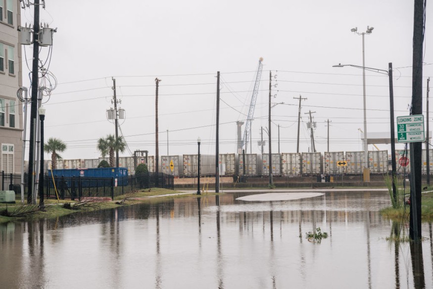
Weather experts said that the recent dry conditions could put the area at risk for flash floods, with the ground unable to absorb any rainwater.
Further, downpours can also bring ponding, especially in low-lying and poor drainage areas, but it can also also cause reduced visibility and delays in travel.
Read Also : Ice Storm Threatens Areas from Texas to Tennessee, Lower Ohio Valleys; Power Outages Expected [NWS]
US Drought
Experts from the US Drought Monitor said that there has been some improvement to the drought that is being experienced during the month of November in some parts of Texas.
They also said that 99% of Louisiana is still in some sort of drought, and 87% is in an extreme or exceptional drought.
These rates are the two most significant drought levels on the scale. Meanwhile, 90% of Mississippi is also in an extreme or exceptional drought.
© 2026 NatureWorldNews.com All rights reserved. Do not reproduce without permission.


