A multi-hazard winter storm is threatening central and southern US region, according to a storm alert of the National Weather Service (NWS).
The weather forecast suggests a storm system moving through the Four Corners region could develop into a large-scale winter storm by midweek.
Several weather threats like heavy snow, severe thunderstorms, and heavy rain are possible across the said regions.
The looming weather system comes after the Pacific storm train, driven by atmospheric rivers, finally ended in California and several areas of the West Coast, which was battered by heavy rain, flash flooding, mudslides, and hurricane force winds for several weeks.
The latest storm threat could disrupt travel and pose life-threatening risks to the Four Corners and its surrounding regions.
Multi-Hazard Winter Storm
The NWS, through its Weather Prediction Center (WPC), on Tuesday, January 17, issued a weather alert for potential severe storms and flash flooding from the lower Mississippi Valley into the Ohio Valley on Wednesday, January 18.
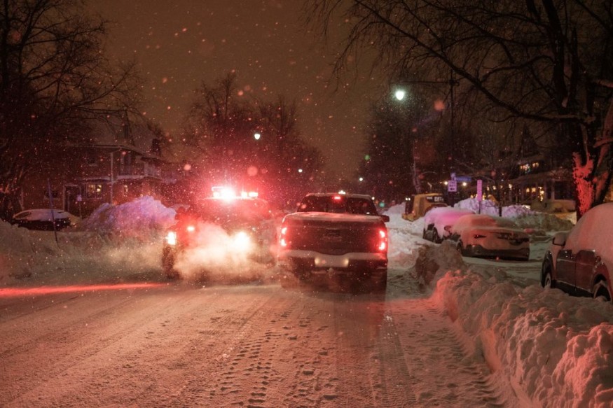
The short-range forecast also said a winter storm will impact the central High Plains into the upper Midwest until Thursday morning, January 19.
The WPC also mentioned the continuance of light to moderate rainfall or snowfall from the Pacific Northwest into Northern California on Wednesday or Thursday.
With an emphasis in the Four Corners, the US weather agency explains the storm system over the region will move into the Great Plains starting Tuesday evening, spreading snow into the central High Plains.
The snow will then develop over northeastern Colorado and to the north of a developing surface low, which will take place in a east-northeastward pattern within the next 12 to 36 hours.
Heavy snow is possible from northeastern Colorado, to Nebraska, and northwestern Iowa.
Freezing rain is also expected south of the snowfall from southeastern Nebraska into central-southern Iowa.
In general, travelers may experience difficulty across portions of the Plains or Midwest due to the multi-hazard winter storm, the NWS says.
According to the University Corporation for Atmospheric Research (UCAR), winter storms can generate snow for days, which makes weather conditions too risky for travel and regular daily activities due to the cold air.
California Sunshine Returns
Previous reports said the final storm has departed from California and has now been moving into the Four Corners.
However, recovery for California will be a challenging task after the storm onslaught caused infrastructural damage, power outages, and casualties in its wake.
On Tuesday, sunshine returned to the state which signifies the end of the extreme weather event that drenched the Golden State, where nine powerful atmospheric rivers occurred consecutively from December 26, 2022, to January 11, The Guardian reported.
The destructive weather system killed at least 20 people, submerged streets, and caused flash floods with mudslides that covered homes and highways.
Its powerful winds also downed power lines and trees, leaving hundreds of thousands without power, the UK newspaper adds.
© 2026 NatureWorldNews.com All rights reserved. Do not reproduce without permission.


