A winter storm hovering over the US could become a bomb cyclone in the coming hours or days, according to US meteorologists.
Blizzard warnings and winter storm warnings remain in effect in multiple areas, including the Midwest region.
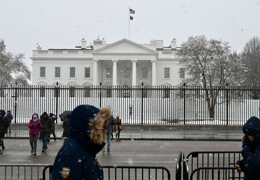
The US winter storm is expected to move further towards the central and eastern parts of the country until the end of the week, disrupting Christmas holiday travel plans.
NWS Weather Forecast
The National Weather Service (NWS) said the powerful winter storm will produce multiple weather hazards across the central and eastern US through the end of the week and the Christmas holiday, adding the bitter cold and life-threatening wind chills over the northern Plains will surge southward towards the East Coast by Friday, December 23.
Starting Thursday night, December 22, significant freezing rain is possible across parts of western Oregon and Washington.
During this period, renewed travel chaos is possible across the Eastern Seaboard where road accidents are likely due to whiteout conditions and poor visibility due to heavy snow.
In addition, flights could be either delayed or cancelled due to the weather hazards.
The NWS highlights the dangerous cold temperatures and blizzard conditions for the Central US, as well as heavy rain and high winds for the East Coast.
In recent days, the winter storm system affected parts of the Pacific Northwest and the Rockies.
The US weather agency attributes the wintry conditions to an arctic front or arctic air that will continue to bring widespread, dangerous cold, blinding snow squalls, and flash freezing over the central-eastern US throughout the rest of this week.
The Upper Midwest and Great Lakes are also affected by the said system.
Also Read : Heavy Snow Could Unload in Central U.S. This Week; Slowed Travel Expected in Oklahoma, Dallas and Houston
Winter Storm to Evolve
AccuWeather meteorologists warned that the monster snow storm gripping parts of the country's center section could evolve into a bomb cyclone as it produces blizzard in the Midwest, where blizzard warnings and winter storm warnings are already in place across the region.
The meteorologists say the winter storm will strengthen into a powerful blizzard over the Midwest from Thursday to Friday, causing dangerous travel disruptions and life-threatening conditions due to the high winds, heavy snowfall, and plunging temperatures.
What is a Bomb Cyclone?
A bomb cyclone occurs during a process known as bombogenesis; a popular term used by meteorologists to describe the rapid intensification of a mid-latitude cyclone.
The process involves the dropping of at least 24 millibars, which measures atmospheric pressure, over 24 hours, according to the National Oceanic and Atmospheric Administration (NOAA).
In short, a bomb cyclone is a winter hurricane consisting of heavy snow, strong child winds, cold temperatures, and other hazards linked with the winter season, as opposed to a typical hurricane during Atlantic or East Pacific hurricane season.
Bombogenesis can occur when a cold air mass collides with a warm air mass, like air over warm ocean waters.
The formation of such weather system leads to a bomb cyclone.
© 2026 NatureWorldNews.com All rights reserved. Do not reproduce without permission.


