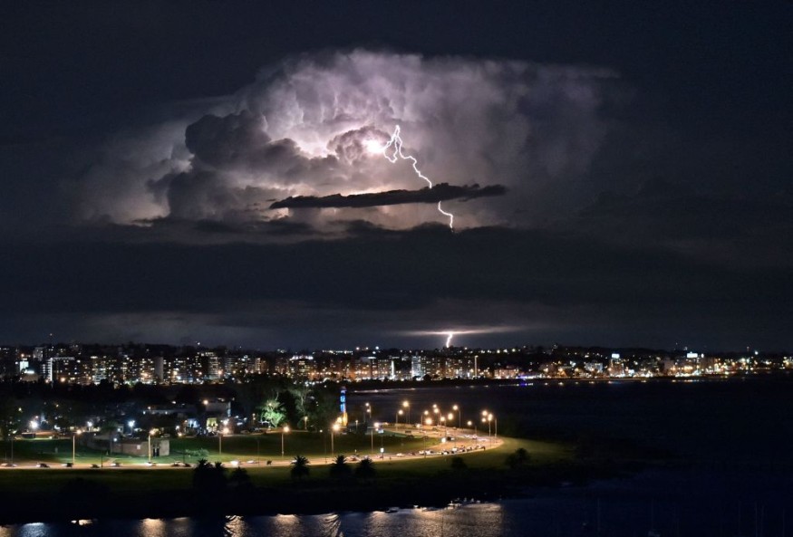
Severe weather is posing a threat again for the Central US and its surrounding areas.
This is after US meteorologists issued a new weather advisory of severe thunderstorm warnings for the Northern Plains and Upper Midwest in the next few days.
Since the onset of the spring season on March 20, severe storms and tornadoes have devastated multiple states in the Central US.
Southern US and as far as Florida have also been struck by deadly twisters, wreaking havoc along its path and resulting in widespread property damage.
Severe Weather Warning
Damaging wind gusts, large hail, and a few tornadoes due to the approaching severe weather are possible from Thursday, May 12.
This is based on the latest short-range weather forecast issued by the Storm Prediction Center (SPC) of the National Oceanic and Atmospheric Administration (NOAA) - National Weather Service (NWS).
There are varying degrees of severity per area when it comes to the issued thunderstorm warnings.
According to the SPC, there is a Moderate Risk of severe thunderstorms for some portions of northeast Nebraska, eastern South Dakota, Southeast North Dakota, and Western Minnesota.
Meanwhile, the NOAA - NWS storm agency issued a Slight Risk of severe thunderstorms across the lower Mississippi Valley.
Also Read: Meteorologists Issue Storm Alert for Thunderstorms and Tornadoes to Central US from Midweek
Thunderstorm Hazards
The SPC also provided the following data for upgraded severe wind probabilities and reduce hail probabilities:
- Upgraded severe wind - there is a 30% to 45% chance that severe winds will affect portions of Nebraska and southeast South Dakota. In addition, severe gusts with a strength of 60 to 100 miles per hour (mph) are possible from Nebraska to southeast South Dakota.
- Reduced hail - the occurrence of large hail is most likely decreased from 30% to 15% over Nebraska as significant hail may possibly concentrate over eastern South Dakota due to a potential supercell convective mode.
Furthermore, the warning highlights the risk of a strong tornado across South Dakota.
In general, scattered thunderstorms are likely across the northern-central Great Plains and upper Midwest, affecting also the state of Kansas.
Similar adverse weather conditions are possible in the region in the coming days.
Tornado Warnings
In relation to the severe weather warning, the NWS office in Omaha, Nebraska, issued a tornado warning for the following areas:
- Southcentral Monona County in west-central Iowa
- Burt County in east-central Nebraska
- Southeastern Cuming County in northeastern Nebraska
- Northcentral Dodge County in east-central Nebraska
- Southcentral Thurston County in northeastern Nebraska
The NWS office in Aberdeen, South Dakota, also issued a tornado warning for:
- Day County in northeastern South Dakota
- Marshall County in northeastern South Dakota
- Southern Traverse County in west-central Minnesota
- Big Stone County in west-central Minnesota
- Roberts County in northeastern South Dakota
- Grant County in northeastern South Dakota
The occurrence of tornadoes in the mentioned areas is possible.
This is due to the record-breaking that fuels violent thunderstorms across the Central US, which will affect parts of Iowa, Minnesota, South Dakota, and Nebraska until 10:00 p.m. CDT (local time), according to the NWS, as cited by The Washington Post.
© 2026 NatureWorldNews.com All rights reserved. Do not reproduce without permission.


