Just two weeks ago, stormy weather blew up much of North America, and the next system has already emerged mid-week. Thanks to the strength of this winter's polar vortex, the next winter storm will extend over 2000 miles from the southern Great Plains to the northeastern United States and Atlantic Canada.
Massive battles between the cold of the Arctic and tropical air masses can result in heavy snowstorms from the Midwest to the Great Lakes, which can lead to tornado-related bad weather in the southern and southeastern United States.
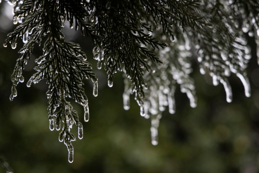
Major winter storm is still ongoing
In late January, the most intense storm of the season - winter storm Landon buried parts of the eastern-central United States in heavy snow, while an ice storm wreaked havoc just south of it. This week, similar winter weather conditions are expected to repeat.
It got pretty cold over the weekend, especially in the Upper Midwest with temperatures below 10°F on Sunday afternoon in parts of Minnesota. The coldest air remains in the northeast, the Great Lakes, the Ohio Valley, and New England.
Temperatures are now warming up much before the front reaches the southern and eastern coasts. As per Severe Weather Europe.
This new high-impact storm zone extends over 2,000 miles from Texas to Maine and is expected to have winter conditions. Blizzards, dangerous icy rains, and ice storms are all more likely to cause serious travel delays, flight cancellations, and road closures for tens of millions of people.
Related article: Winter Storm Aftermath: US Gradually Recovers, Arctic Air to Leave Midwest and Northeast
What is a polar vortex?
Polar vortexes are large areas of persistent low pressure commonly located in each polar region of the Earth, including very cold masses of air. The height of this cyclone extends from the central troposphere (the lowest layer of the Earth's atmosphere, at altitudes 10-18 km [6-11 miles] from the surface) to the stratosphere (atmosphere).
According to Britannica, It extends from 10-18km to an altitude of about 50km [30 miles]). A polar front jet stream, a zone moving east of strong stratospheric winds that separates warm tropical air from cold mid-latitude polar air, traps cold air in polar vortices.
The strength of the polar vortex varies from season to season, but it is strongest in each hemisphere in winter when the temperature difference between the polar vortex and the equator is the largest. During the warmer months of the year, it can weaken or disappear altogether.
Importance of polar vortex
The depth of the stratosphere is about 1050 km, which is a very dry layer. An important part of this layer is also the ozone layer, which plays an important role in protecting the lives of our planet. But the most important part of the stratosphere that actually drives the dynamics of our weather is known as the polar vortex. As per Severe Weather Europe.
This is a huge 3D ring with a very strong wind blowing overhead. The polar vortex surrounds both the North Pole and the South Pole and rotates about 2050 km above the surface of the earth. The polar vortex is strongest in both hemispheres during the winter.
© 2026 NatureWorldNews.com All rights reserved. Do not reproduce without permission.


