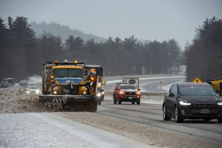
Millions of Americans are recovering following several days of blizzard conditions, heavy snowfall, and strong winds, due to the previous winter storm, which affected mostly the Northeast and Midwest regions of the country.
The recent winter storm caused power outages that affected thousands, and delayed and canceled flights across the US.
Winter Storm Aftermath in the Northeast and Midwest US

The winter storm aftermath across the US Northeast and Midwest regions over the weekend will be followed by clearer weather as the arctic air is already leaving the country, as per AccuWeather.
However, meteorologists forecast said a colder air will continue to be felt across the Northeast and Midwest.
A separate weather forecast indicated clearer and calmer weather will occur in the US by Sunday morning, Feb. 6, as per NBC 29.
As of Sunday early morning, more than 100,000 customers are still left without power across the Northeast and Midwest US, according to Power Outage US.
Meanwhile, both domestic and international flights are expected to resume normal traffic after more than 5,000 flights were either canceled or delayed since Feb. 3, as per Flight Aware.
Further Forecast in the Coming Days
Following the previous winter storm, a weaker weather system will form over Southeast US on Monday, Feb. 7.
According to NBC 29, this weather system will involve widespread clouds with rain showers on Monday afternoon and evening.
Furthermore, the weather forecasts indicated there will be significant temperature variations developing across the US later this week until next weekend.
Specifically, the forecasts show arctic air will still affect the northern and southern skies of the US.
With the forecasted weaker weather system in the coming week, freezing temperatures and the weather will get back to normal in the coming days.
The National Weather Service (NWS) issued a new forecast on Saturday evening, Feb. 5, stating that, "After the large-scale winter storm, temperatures will finally be on the rebound across the Eastern two-thirds of the U.S. on Sunday. However, from parts of the Upper Midwest to the Northeast it will remain chilly."
The NWS said the following weather phenomenon will occur between Sunday and Tuesday, Feb. 6 and Feb. 8:
- A clipper system will produce light snowfall across the Upper Midwest until Monday morning, Feb. 7.
- A storm formation off the Southeast Coast will mainly produce rain along the East Coast
- A warmer temperature will occur in Northern High/Northern Plains into the central Plains
The NWS explained the Clipper System will move from the Upper Mississippi Valley to the Great Lakes until Monday.
In addition, the energy from the said weather system will cause light snowfall across some areas of the Northern Rockies to the Upper Great Lakes.
In Florida, the NWS said a lower pressure will form off the coast of the state until Sunday morning.
Meanwhile, people living in the Southeast and the Carolinas will experience light rainfall from Sunday afternoon until Monday.
In spite of the dissipation of the recent winter storm, further weather disturbances are likely to continue across the US since the country is currently in its winter season, which approximately spans from December to March every year.
Winter storms in the US often result in widespread disruption to travel and damage to infrastructure; sometimes leading to casualties.
© 2026 NatureWorldNews.com All rights reserved. Do not reproduce without permission.


