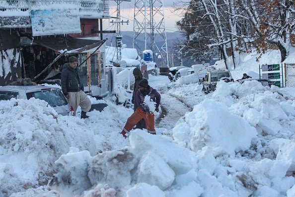
AccuWeather forecasters warn that a foot of snow could fall across six states in the northern Plains and Midwest, causing dangerous travel conditions in the Southeast and Northeast.
Areas Under Winter Storm Watches and Warnings
Prior to the severe snowfall, winter storm watches and warnings have been issued from eastern North Dakota to northern Missouri.
According to Accuweather, places like Fargo, North Dakota and Sioux Falls, South Dakota as well as Des Moines, Iowa are affected by these alerts.
AccuWeather Meteorologist Jessica Storm said a Saskatchewan screamer is almost the same as an Alberta clipper, except that it forms in the Canadian province of Saskatchewan.
Because of the system's location across the Plains and Upper Midwest, snow is likely to be the primary precipitation type for the first several days.
Cold air will also produce a lot of snow with a high-density ratio. As a result, only a small amount of precipitation will be required to produce significant snowfall amounts.
Snow might fall at a pace of 1-3 inches per hour, increasing the risk of becoming stuck on the roads. It's possible that a few areas might have more than a foot of snow, Storm added.
Cities to Receive Accumulating Snow
On Thursday night, snow began to fall across central and eastern North Dakota, as well as western Minnesota and northeastern South Dakota, as the storm moved southward.
Fargo, North Dakota, was blanketed in snow just before sunrise on Friday, causing visibility to plummet and roadways to turn snow-packed and icy.
Before the storm passes through, 6-10 inches of snow are expected to fall on Fargo. On Friday afternoon, snow will begin to fall in Minneapolis as the system continues to move southeast. 3-6 inches of snow is expected to fall in the Twin Cities.
On Friday afternoon, Des Moines will also begin to see significant snowfall. Sledding is expected to be more frequent and last longer in Iowa than in central Minnesota. Much of the state might expect 6-12 inches of snow if the storm doesn't stop until Saturday morning.
When temperatures hit 59 degrees on Wednesday, snow will fall from Friday night through Saturday morning in the Gateway to the West. The first remarkable snowfall of the winter of 2021-2022 is expected to fall on the city, with a total accumulation of 3-6 inches.
Motorists May Face Travel Delays
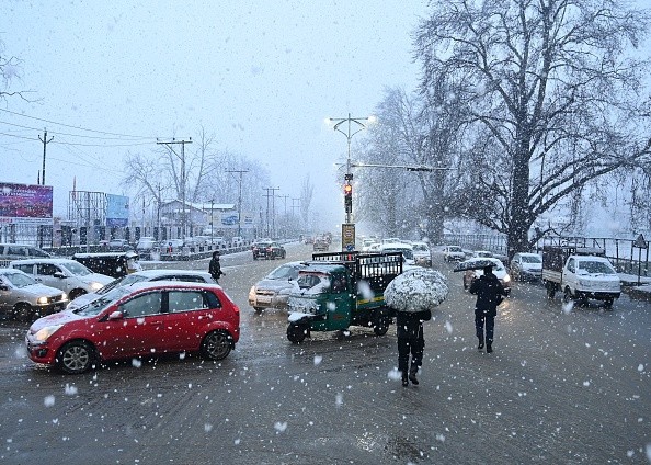
When planning a trip, it doesn't matter what the snowfall totals are in a given area; extra time is needed. Motorists should expect delays on the roads and at the airports, and plan ahead accordingly.
During the storm, strong winds may also cause snow to blow and drift. On Saturday night and Sunday morning, the storm will move over the Southeast, where it will make landfall. Over a foot of snow may fall in the interior of the Northeast on Sunday night into Monday, bringing a mix of snow, ice, rain, and wind.
Some of the most dangerous circumstances may migrate into northwestern and central Plains and Midwest regions once the snow has melted. On Friday night, lows of -15 to -20 degrees Fahrenheit are expected in parts of northeastern North Dakota and northern Minnesota.
On Saturday night, the cold front will move further south. At least a few places in southern Iowa and northeastern Missouri might experience temperatures that are just above freezing.
Related Article : Snowmageddon 2022: Multiple Winter Weather Alerts Raised All Over US Due to Arctic Blast
For more news, updates about snow and similar topics don't forget to follow Nature World News!
© 2026 NatureWorldNews.com All rights reserved. Do not reproduce without permission.


