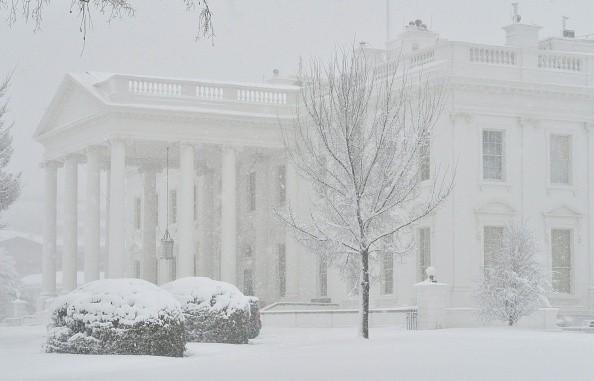
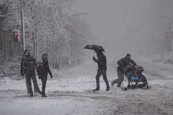
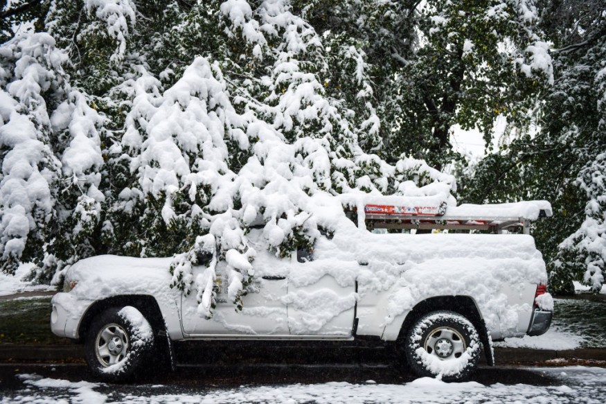
Heavy snow, very low temperatures, gusting winds, and treacherous conditions have put more than 100 million people throughout the United States on high alert this week.
Multiple Advisories
The National Weather Service has issued different advisories, alerts, watches, and warnings connected to two winter storm systems for 38 states, from Washington to New York.
A snowstorm sweeping over the Upper Midwest is bringing snow and wind to the Northern Plains and the Great Lakes. There is a second, which affects the Pacific Northwest and Northern Rocky Mountains, bringing rain and wind to the West Coast and heavy snow to neighboring mountain peaks, ranging in elevation from the Cascades to the Rocky Mountains. This storm may reach the East Coast by Friday morning, delivering further snow to the communities along Interstate 95, one of the busiest traffic routes in the country.
The first storm will sweep the Great Lakes area on Wednesday, with the most snow falling in Wisconsin, Michigan, and western New York. According to the current prediction, a freezing arctic blast with wind chill temperatures far below zero degrees Fahrenheit will roll in behind it. Temperatures will be moderate enough as the cold front moves across the East to maintain most precipitation in the form of rain showers throughout the Northeastern states.
Related Article : Meteorologists Monitoring Possible Snowstorm That Might Hit the Midwest
Drizzle
However, due to rising temperatures, drizzles of freezing rain are expected Wednesday morning from eastern Virginia to Connecticut before likely transitioning to rain showers by mid-morning. Morning commuters may face icy roads as a result of this.
Meanwhile, the second storm will continue to travel over the Rockies from West to East, bringing heavy snow to the mountains and strong winds to Wyoming and Colorado. The system might resurface in the Southern central states on Thursday, according to the current projection. Both long-term storm models, European and American are expecting snow throughout the Northeast area on Thursday night into Friday morning.
Following a multi-vehicle collision that happened Monday afternoon under a heavy blizzard, hundreds of passengers were trapped in a major traffic bottleneck spanning a 48-mile length of Interstate 95 in Virginia. According to ABC News, it took Virginia Sen. Tim Kaine over 27 hours to drive from his Richmond residence to the United States. I-95 in Virginia reopened after 9 p.m. Tuesday. Capitol building in Washington, D.C. It is now local time after being closed for most of the day for emergency response.
Winter Storms
Like other forms of storms, winter storms begin with wet air ascending into the atmosphere. At a cold front, rising air is prevalent since warm air is raised above cold air, which is essential for cloud formation and precipitation. Rising air can also occur as air flows up a big hill or mountain. Clouds and precipitation require a source of moisture, such as air flowing across a vast lake or ocean. Cold air is the last element, and it is what distinguishes a winter storm from other storms. Precipitation will fall as snow or ice below freezing air temperatures near the ground and up to the clouds.
On the other hand, frigid air is unable to contain as much moisture and hence does not produce as much snow. According to this, the coldest regions on the planet, such as Antarctica, get relatively little precipitation throughout the year.
For more news about the environment , don't forget to follow Nature World News!
© 2026 NatureWorldNews.com All rights reserved. Do not reproduce without permission.


