Environment
Persistent Toxic Red Tide Causes Rapid Die-Off for Seagrass in Florida
Experts say rapid die-off in Florida seagrass is caused by the persistent toxic red tide. Read more here.

Latest Research Articles
Powerful 7.1 Magnitude Earthquake Strikes Papua New Guinea: At Least Three Reported Dead
-

Violent Storms, Massive Tornadoes Killed Over 30 People Across the United States
Ocean Under the Crust: Massive Water Formation Found Beneath the Planet
Sky Canvas: First Human-Made Multi-Colored Meteor Shower in 2025, Not Just for Display
-

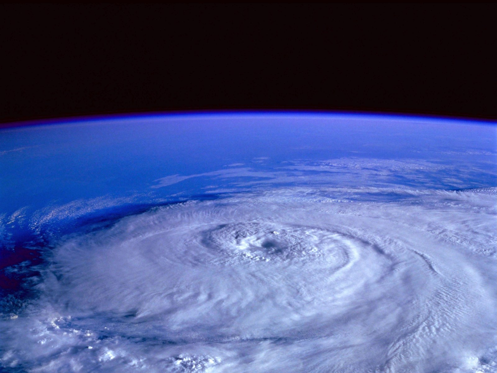
Ian and Fiona Enters the List of Retired Hurricane Names
-

Air Pollution Could Lead to Mass Fly Extinction Event [Study]
-

Deadly Tornado Outbreak Devastated Several US States
-

Willow Project: US Approves Operation to Drill Millions of Oil Barrels in the Alaskan Arctic
-

Mysterious Ancient Drawings: Rare Stone Carvings Found Under Hawaii Sand
Old Flooded Coal Mine in England Produces Geothermal Heat in the Winter
-

Green Corridors in Barcelona Would Lead to a “Notable Reduction” in Mental Disorder Cases
-

Canada Weather Forecast: Rare Thundersnow to Hit Southern Ontario This Week


MOST POPULAR
-

How Climate Change Adaptation Builds Heat-Resilient Cities, Drought Crops, Sea Walls & Retreat
-

What Powers Tornado Alley Supercells? Wall Clouds, Mesocyclones, Hook Echoes & Wedge Tornadoes
-

Wildfire Prevention Methods: Prescribed Burns, Fuel Reduction, Firebreaks & Defensible Space for Fire Season
-
How Hurricane Tracking Technology Predicts Category 5 Storms with Satellites, Radar & Saffir-Simpson Scale
-

Mariana Trench Animals Found Among the Deep Ocean Species Thriving in Darkness


