The National Weather Service (NWS) reported that Boston could experience a blast of cooler temperatures this week. In Northern New England and the Upper Midwest, people can anticipate light snow conditions.
In the Northeast, the recent forecast warned of winter storm conditions, bringing extreme cold and slower commutes. In February, parts of the US experienced winter storm threats, from blizzard conditions, strong winds, and heavy snow.
In Boston, the advisory noted that light snow conditions are possible in the morning, including in parts of Massachusetts. The forecast also monitors a front moving into New England with a chance of flurries and a dry outlook.
In this week's weather, homeowners should watch out for dangerous travel due to slower commutes and foggy conditions. For homeowners, it is best to monitor the weather reports, particularly if they have travel plans in Northeast and California.
Weather Forecast in New England and Upper Midwest
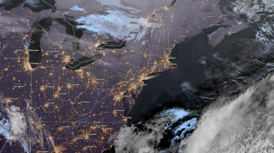
As temperatures can become colder in the Northeast with a mix of rain and snow, the Upper Midwest and New England can also expect a chance of light snow. Motorists should still keep updated with the weather due to slower commutes.
In Chicago, the latest report showed that mild conditions are expected in the late week. On Wednesday, possible rain showers could unfold on Interstate 80. On Friday, a cold front could bring colder temperatures.
The forecast added that pockets of dense fog could emerge in Chicago, particularly in portions of NW Cook counties, western Lake and McHenry. Temperatures can likely reach in low-mid 20s. People should watch out for slick travel.
Meanwhile, Kansas City can expect above-normal temperatures next week, with highs reaching from 15 to 25 degrees normal. In the late week, homeowners can expect dry and stormy conditions on Wednesday. On Thursday morning, there is a chance of rain showers.
In addition, Pittsburgh can anticipate cooling conditions at night. Temperatures are expected to drop in the midweek.
With the recent forecasts, Americans should still watch out for signs of hypothermia and frostbite. Limiting unessential outdoor travel is advisable to keep safe from cold-related illnesses, particularly for communities without heating systems.
Travel Condition Safety and Preparedness in the Midwest
The mix of snow and rain can become challenging in the Midwest, especially for motorists. People should always check the road and vehicle conditions before traveling.
When the weather doesn't improve, staying at home is the best option. However, travelers can also keep emergency kits inside their cars or homes. It will be helpful in times of emergencies.
Related Article : Florida Weekend Weather Forecast: Flooding Risk, Severe Storm To Hit Sunshine State
For more similar, don't forget to follow Nature World New
© 2026 NatureWorldNews.com All rights reserved. Do not reproduce without permission.


