Heavy rainfall is expected in the Pacific Northwest this week, bringing possible flooding concerns and flash flood risks. Motorists should stay alert to the weather, particularly people with travel plans.
Recently, the Pacific Northwest experienced challenging weather conditions, from heavy rains and flooding. Snowy conditions were also reported, causing slower commutes and travel dangers.
The weather forecast also warned of a troublesome weather outlook in the Northeast and Mid-Atlantic coast. The forecast warns Tennessee Valley and central Mid-Atlantic. Snow conditions are also expected in the southern New England and central Appalachians.
The National Weather Service (NWS) reported a significant storm in the Mid-South. The stormy conditions can bring gusty winds, rain and snow. Homeowners should stay coastal flooding impacts.
Winter storm conditions can also unfold in the lower Mississippi River Valley and southern Plains in the early week. People should watch out for damage to trees and powerlines due to severe thunderstorms.
NWS Weather Forecast in the Pacific Northwest
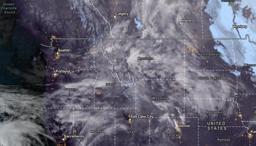
The NWS Forecast Discussion reported that a new storm system could arrive in the Northwestern US. Heavy rain outlook is also possible with mountain snowfall. The surge of moisture could lead to flooding concerns, including in northern California, Cascades, Sierra Nevada and northern Rockies.
Homeowners should also anticipate the one to two feet of snow on Thursday. In the central Plains, a weak storm system is also possible, including in the Midwest and Great Lakes in the late week.
In the Northeast and Intermountain West, below-normal temperatures are likely. The surge of Arctic air from Canada could become noticeable on Wednesday in the northern High Plains.
Due to the weather outlook, people can expect possible weather dangers. Slippery roads and poor road visibility are likely in the region.
Limiting any outdoor plans is advisable to keep safe from the weather in the Pacific Northwest. If they plan to travel, investing extra travel time is important to anticipate delays or slower commutes.
Also Read: Philadelphia, New York Weather Forecast: Heavy Snow To Hit This Week; Travel Disruption Possible
Southeastern US Weather Forecast: Where Will Flooding Risk and Heavy Rain Unload?
The latest weather forecast warned of possible flash flood risk and flooding rainfall in the Southeast this early week. Localized damaging winds, hail and isolated tornadoes are possible.
In the early week, possible severe thunderstorms could unload in the following areas:
- Chattanooga
- Atlanta
- Columbus
- Albany
- Tallahassee
- Jacksonville
- Charleston
The forecast warned of flooding concerns in the Southeast this week, including in the Florida Panhandle, southwestern Carolina and southeastern Georgia.
The strong winds can impact the weather conditions in the US, causing potential power outages and roofing damage.
Related Article : Northeastern US Weather Forecast: Snowstorm Possible to Bring Snow, Colder Conditions in Pre-Valentine
For more similar, don't forget to follow Nature World New
© 2026 NatureWorldNews.com All rights reserved. Do not reproduce without permission.


