A cold storm is forecasted to bring snow and ice from south-central United States to the southeast.
Meteorologists said that the storm is expected to ride the jet stream and along the fringe of a press of Arctic air, which is expected to expand across most of the nation into the middle of the month and in the next weeks.
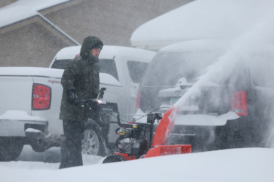
The snow and ice will spread out over areas in the southern and central Plains on Sunday as a storm collides with Arctic air that is expected to spread over the region.
Bitter Cold Expected To Surge
According to the National Weather Service, cold air will descend from western Canada across the northern Intermountain Region to the central and southern Plains as well as the middle of the Mississippi Valley.
Meanwhile, a bitter cold surged in the south and affects most of areas in the US. The first significant Arctic outbreak of the winter has arrived across the northwest and northern Plains and will spread south through early next week.
Weather experts said that a number of daily cold records could be expected by residents in the affected areas.
Moreover, dangerously cold wind chills are also expected.
Based on forecast, sub-zero wind chills will affect much of the US and reach into portions of the south.
Meanwhile, wind chills this weekend is expected to fall below negative 30 degrees from the northern Rockies to northern Kansas and into Iowa.
Values could also drop as low as negative 50 degrees from Montana across the western Dakotas. These extreme apparent temperatures is seen to pose a threat of frostbite on exposed skin and hypothermia.
Authorities are advising travelers to have a cold survival kit during their travel in order to ensure safety.
On the other hand, heavy snow will develop in the west on Friday and Saturday.
Weather officials said the arctic air would gradually lower snow levels in time for the arrival of another storm system in the west.
The snow levels will lead to snow and considerable impacts are predicted in valleys in Oregon, Idaho, Nevada, and Utah, including the Portland, Boise, and Salt Lake City metro areas.
Further, significant freezing rain is likely on Saturday in northwestern Oregon.
Read Also: Challenging Blizzard Conditions to Impact Chicago This Week, Forecast Warns of Travel Hazards
Freezing Rain
Meteorologists said that areas of snow, sleet, and freezing rain are likely on the periphery of the advancing Arctic air mass from the interior south into the northeast. '
They advised residents to be vigilant for further details and weather updates as the forecast may change.
Meanwhile, on Saturday, a plume of moisture will stream into parts of the Pacific Northwest and California, which will later bring torrential rains.
The Weather Prediction Center has already issued warning on a slight risk of excessive rainfall over parts of southwestern Oregon and northern California from Saturday into Sunday morning.
The associated heavy rain will create mainly localized areas of flash floods, with urban areas, roads, small streams, narrow canyons/gullies, and burn scars the most vulnerable.
Related Article : NWS Weather Forecast: Record Lows, Heavy Snow to Hit Pacific Northwest This Weekend
© 2026 NatureWorldNews.com All rights reserved. Do not reproduce without permission.


