The latest weather report showed an improving weather condition in the Midwest after blizzards and snow were threatened, bringing travel concerns and cold-related illness.
As winter begins, the forecast warned of potential snowstorms or winter storms that could bring devastating impacts on affected areas. Checking the weather and advisories is recommended, especially if they have any travel plans this week.
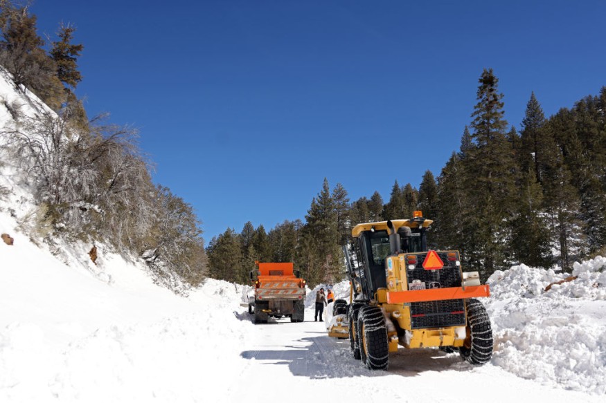
Homeowners and motorists should stay alert with the weather conditions this week. Commuters should be extra careful in navigating the roads to avoid inconvenience and road hassle.
Snow-covered roads and slippery outlooks can also cause dangerous travel in the Midwest and parts of the US. Snow squalls can become dangerous due to the windy and snow conditions.
In addition, the National Weather Service (NWS) reported that a light rain outlook can unfold in the late week or weekend over parts of the Northwestern US and the West Coast.
Light to moderate rainfall can unload from Washington to California, including in the Cascades and Sierras.
Weather Conditions in the Midwest
According to the latest weather report, travel conditions are expected in the Northern Plains on Wednesday. Blizzard conditions and freezing rain can still occur in the Central US.
In the Midwest, the first snow is also expected this week. Strong winds and snow can also hit on Interstate 80 and Highway 30 in portions of Nebraska, Lexington, Nebraska.
The blizzard threat also spread over portions of South Dakota, North Dakota and Colorado. The mix of rain and snow unloaded in Bismarck, Grand Forks and Fargo.
In the South, the mix of snow can likely unload in the late week, including Interstate 44 and 55 in the Missouri. The first snowflakes can also likely be on Friday. The colder conditions can likely spread over the following areas:
- Indianapolis
- St. Louis
- Evansville
- Nashville
- Johnson City
- Memphis
- Huntsville
On Friday, the chilly outlook can spread over Atlanta, Montgomery, Jackson, Jacksonville, Tampa and New Orleans. In Sacramento, widespread precipitation will be likely to hit on Saturday. People should watch out for slick roads and commutes.
Weather Preparedness in the Midwest This Week
The National Weather Service (NWS) reported above-average temperatures could emerge on Friday or Saturday. Cooler temperatures can also spread over the South.
As a result, weather preparedness is important to stay safe from the weather in the US, especially Midwest. Chance of precipitation can also unload in the New England and Appalachians, including in the Great Lakes on Saturday.
In addition, people leaving their homes should wear winter-related clothes to prevent hypothermia and frostbite.
For more similar stories, don't forget to follow Nature World News
© 2026 NatureWorldNews.com All rights reserved. Do not reproduce without permission.


