The latest weather forecast showed that a stormy outlook could unload in the Northwestern US early next week, bringing heavy rains and flooding. Recently, an atmospheric river brought more precipitation to the region.
In the Northeast, the recent forecast warned of rainstorms and a rainy outlook in the region, causing travel concerns and challenging cold. The National Weather Service (NWS) advised residents to stay alert for moderate to excessive rainfall.
According to a recent NWN report, Northwestern US suffered from deadly flooding and travel dangers due to river flooding and snowmelt. In this week's weather, the main concerns are heavy rain, damaging winds, freezing rain and flooding.
December can become wetter in the Northwest. Although it helps ease the drought-affected regions, homeowners should watch out for the storm dangers.
Northwestern US Flooding Concerns: Where Will Heavy Rain Unload?
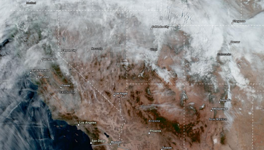
The latest forecast showed that flood watches are issued in the Northwestern US due to a developing weekend storm. The wet weather outlook can likely stay until early next week.
Last week, Oregon and Washington experienced threats of heavy rains and snow. The situation became more challenging due to the impacts of atmospheric rivers, bringing more unusual moisture.
The advisory warned of moderately strong atmospheric river in the Pacific Northwest this weekend. Homeowners should stay away from flooded roads in the region, including in flood-prone areas.
In the Coastal range, the potential rainfall can reach from 3 - 6 inches on the weekend. People near the coasts should keep alert for rip currents, damaging winds and high tide.
On Sunday, the rainy outlook is likely in the following areas:
- Seattle
- Portland
- Medford
- Seattle
- Cascades
- Northern Rocky Mountains
- Washington
The forecast warned of travel difficulty in the Northwest this late week. Snoqualmie Pass on Interstate 90 can encounter road dangers due to wet roads and poor visibility.
Next week, the temperatures will be unusually milder in the Northwest. Temperatures can spike from 8 to 12 inches Fahrenheit. The slightly warm or dry trend could unload in Seattle, Portland, Boise and Helena.
The dry outlook becomes favorable for Americans who want to enjoy outdoor activities. However, it will be brief as more rain returns in the early week.
Also Read : Eastern US Weather Forecast: Massive Weekend Storm To Bring Heavy Rain, Snow, Travel Concerns
Stormy Conditions in the Pacific Northwest: How To Prepare?
Pacific Northwest is expected to receive a stormy outlook in the early week as colder temperatures begin to emerge. Homeowners should watch out for stormy outlooks and flooding rainfall.
Motorists should maintain enough distance from other vehicles. Having car and home emergency supplies is also helpful.
Related Article: NWS Weather Forecast: Possible Tornadoes, Severe Thunderstorms Likely in the Lower Mississippi Valley Next Week
For more similar stories, don't forget to follow Nature World News
© 2026 NatureWorldNews.com All rights reserved. Do not reproduce without permission.


