The National Weather Service (NWS) advisory showed that excessive rainfall is likely in parts of the Mississippi Valley. Meanwhile, freezing conditions will unload in the Rockies and Southern Plains.
Homeowners travelling this Halloween should check the forecast due to the rainy conditions in the Southern Plains, Rockies and Lower Mississippi Valley.
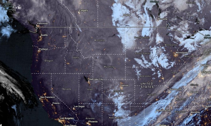
Can you spot the cold front🤔? There is a variety of temperatures across the Nation today thanks to a strong frontal boundary stretched across the Southern Plains through the Ohio Valley🥶. pic.twitter.com/AY4gux6tVZ
— National Weather Service (@NWS) October 29, 2023
The rainy outlook can lead to small to severe flooding in the region, depending on the rainfall intensity.
In other parts of the US, the colder weather conditions began to unfold in the Northwestern US, Wyoming, Colorado, Northeast and Midwest.
Weather in the Southern Plains, Rockies: Where Will Rain Unload This Week?
The NWS monitors the cold high pressure over the Pacific Northwest to Central High Plains. The cold high pressure is expected to move to portions of the Southern Plains on Monday.
Residents near the Southern Plains can expect below-average temperatures, reaching from 15 to 35. There is a chance of snow in the Central and Southern Rockies early this week.
Homeowners should watch out for a mix of rain and snow, or freezing rain on Monday. The colder conditions could result in cold-related health concerns, including hypothermia and frostbite.
In terms of the road conditions, motorists should expect slower commutes due to the rain and snow. Slippery roads can be possible this week due to the weather outlook.
Meanwhile, the risk of excessive rainfall can be likely over the portions of the Middle and Lower Mississippi Valley.
In the midweek, the wintry weather conditions could spread over Minneapolis, Green Bay, Chicago and Buffalo.
In addition, the strong frontal boundary could help with the cooler temperatures in the Southern Plains through the Ohio Valley. Residents should stay alert for thunderstorms and heavy rain, bringing flooding concerns to the region.
Weather in Other Parts of the US: What Should Americans Expect?
In the Northern Plains and Mississippi Valley, potential lake-enhanced snow could unload in Lake Superior's southern coast and northern Lower Peninsula of Michigan.
In the early week, a low-pressure in Southern New England could help bring moderate to heavy snow in Northern Maine.
Meanwhile, in Southern California, the advisory is monitoring the developments of the Santa Ana wind. It could cause Critical Fire Weather concerns in the region on Monday.
The wind conditions could reach a wind gust of up to 75 mph. High Wind Warnings are present. The dry conditions and low relative humidity could spark fire concerns in Southern California.
The forecast warned of gusty winds, including in portions of North California. On Monday, the dry conditions are expected in the following areas:
- Redding
- Reno
- San Francisco
- Reno
- Las Vegas
- Los Angeles
- San Diego
- Las Vegas
- Phoenix
Homeowners should stay updated with the fire forecasts in Southern California, observing local burn restrictions in their areas.
For more similar stories, don't forget to follow Nature World News
© 2026 NatureWorldNews.com All rights reserved. Do not reproduce without permission.


