Meteorologists said that the weather system Tammy, which is no longer active, is expected to have impacts over Bermuda.
They said that heavy rains and windstorm are expected in the area.
Effects Of Tammy
According to the National Hurricane Center and Central Pacific Hurricane Center, it was at 500 AM AST (0900 UTC) when the center of Post-Tropical Cyclone Tammy was located near latitude 30.5 North, longitude 58.4 West.
The post-tropical cyclone is moving toward the north near 12 mph (19 km/h). The system should begin to move northwestward later this morning, followed by a slower west-northwestward motion on Friday.
Tammy's maximum sustained winds have decreased to near 85 mph (140 km/h) with higher gusts. Some weakening is expected during the next few days.
Meanwhile, the hurricane-force winds extend outward up to 30 miles (45 km) from the center and tropical-storm-force winds extend outward up to 195 miles (315 km).
On the other hand, the estimated minimum central pressure is 973 mb (28.74 inches).
The surf swell will continue to affect portions of Bermuda, the northern Leeward Islands, the British and US Virgin Islands, and Puerto Rico during the next couple of days.
These swells are likely to cause life-threatening surf and rip current conditions.
Weather experts said that Tammy appears to have completed its transition to a post-tropical cyclone, merging with the nearby front.
The cloud pattern has become more comma shaped, with a long linear convective band, and is no longer producing deep convection near the center.
Meteorologists said that the cyclone is now frontal but likely still has a warm core, indicating that it is a warm seclusion-type of extratropical cyclone.
Although post-tropical, weather experts said Tammy remains a powerful cyclone.
They noted that in the near term, the increasing shear and drier air associated with a deep-layer trough to the west should continue to cause convection to dissipate, and the system to weaken over the next few days.
Tropical Development
Meteorologists said that they were monitoring another area for possible tropical development near the Caribbean next week.
Further, they said that they were watching another zone for potential development in the Atlantic basin around the end of October and the start of November.
Weather experts said that there was a low-risk zone that could foster tropical development in the zone from the north-central Caribbean to the southeastern Bahamas next week.
Further, a broad area of showers and thunderstorms will evolve in this area and could slowly develop into a tropical system.
Meanwhile, the official hurricane season in the Atlantic runs until the end of November.
Meteorologists said that tropical disturbances, known as tropical waves, that wander westward from Africa tend to decrease during November.
On the other hand, the tropical development in the Caribbean, the Gulf of Mexico and the southwestern Atlantic sometimes continues based on the historical average.
So far, there have been 20 named storms, one unnamed storm from January and a recent tropical depression in the western Caribbean.
Records showed that of the seven hurricanes so far this season, the strongest hurricane was Lee with maximum sustained winds of 165 mph during September.
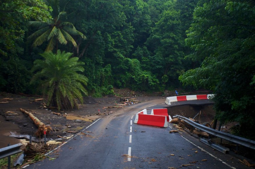
Related Article : Hurricane Tammy Seen To Cause Structural Damage In Lesser Antilles
Related Video:
© 2026 NatureWorldNews.com All rights reserved. Do not reproduce without permission.


