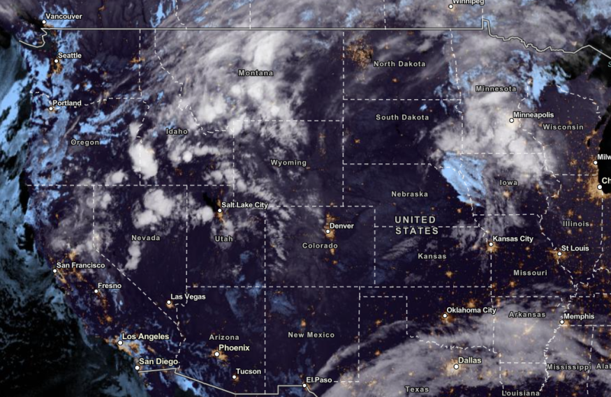
A winter storm and colder conditions are expected in the Western US and Northern Rockies, showing the arrival of winter in the coming weeks. Meanwhile, frost alerts are issued in the Southern Appalachians and Ohio Valley.
Snow lovers in the US can expect an early accumulation of snow and a cooler outlook, especially in the Northwestern US. When the fall weather started, portions of the Pacific Northwest recorded temperature drops and snow potential.
❄️🚨Early season snow storm incoming to parts of the Northwest this Tuesday and Wednesday. pic.twitter.com/25KvYmaCQU
— NWS Weather Prediction Center (@NWSWPC) October 22, 2023
Recently, NWN reported the unusual heat in the Western US. This week, it is expected to ease due to the colder air and snow.
According to the NWS Weather Prediction Center, an early season winter snow will bring heavy snow in portions of the Northern Plains, Northern Rockies and Cascades.
Winter Storm And Heavy Snow: Where Can Americans Expect Severe Weather Conditions?
While the snow will be mesmerizing for many Americans, homeowners should watch out for the following weather dangers this week:
- Foggy weather conditions
- Slipper road conditions and travel hazards
- Localized power outages
- Blizzard-like weather outlook
According to the National Weather Service (NWS), Northwestern and Central US can anticipate a busy weather pattern. The weather agency noted the cold airmass in Western Canada that could affect the weather.
Cascades, Northern Rockies and Western Washington can anticipate a heavy snow outlook in the midweek. There is a chance of about 9 inches of snow.
In Central and Western Montana, residents can expect about four inches of snow on Wednesday.
Winter weather is on the way! This is not just for the Cascades, the Blue Mountains, and the Wallowas. The mountains across the interior northwest of WA, OR, ID and MT will have snow accumulations this week. Make sure to check DOT travel sites for road conditions. #wawx #orwx pic.twitter.com/Bw6tOdcD1q
— NWS Pendleton (@NWSPendleton) October 22, 2023
The forecast warned of dangerous travel conditions in the said areas and potential snowstorms.
In another latest report, a winter storm and blizzard-like conditions could hit West and Plains this early week. The forecast shows freezing temperatures. A first snowfall can also unfold, especially in the Northern Plains and Rockies.
From Monday to Thursday, a chilly weather outlook is expected with possible travel dangers and blizzard-like conditions. The early taste of winter will be likely in the following areas:
- Seattle
- Portland
- Medford
- San Francisco
- Helena
In Portland, the advisory warned of snow dangers in the region, especially in the Cascades. Motorists should check for winter safety tips before going outside.
Meanwhile, Oregon Cascades, Northern Idaho, and Northern Wyoming can expect 3 to 6 inches of snow.
Snow is forecast to return to the Cascades beginning Tuesday through the remainder of the week; take proper precautions to ensure your safety if you're planning to travel in the Cascades! #ORwx #WAwx pic.twitter.com/UNbw2A711P
— NWS Portland (@NWSPortland) October 22, 2023
On Monday, potential snowfall and colder conditions could unfold in the following areas:
- Fargo
- Winnipeg
- Bismarck
- Rapid City
- Casper
- Helena
- Calgary
- Prince George
- Spokane
- Boise
- Portland
- Medford
- Seattle
Also Read : US Weather Forecast: Stormy Conditions, Travel Delays to Hit Northeast, New England This Weekend
Keeping Safe From Winter Storms: Tips for This Week
The latest winter forecasts warned of a dangerous travel outlook in the said areas. Homeowners can also expect heavy snow and winter storms. Here are essential winter safety reminders this week.
- Always keep updated with the latest winter forecasts.
- Motorists should consider the travel dangers. Stay alert while on the road.
- Winter safety kits for homes and cars are recommended.
Related Article: Light Rain to Unload in Central California, Pacific Northwest This Weekend As Cooler Air Comes Next Week
For more similar stories, don't forget to follow Nature World News.
© 2026 NatureWorldNews.com All rights reserved. Do not reproduce without permission.


