Meteorologists said that Tropical Depression Sean is seen to be "poorly organized" over the Central Atlantic.
Based on the weather forecast, Sean will continue to move off to the northwest and that it may lose wind intensity and organization in the next few days.
Weather forecast
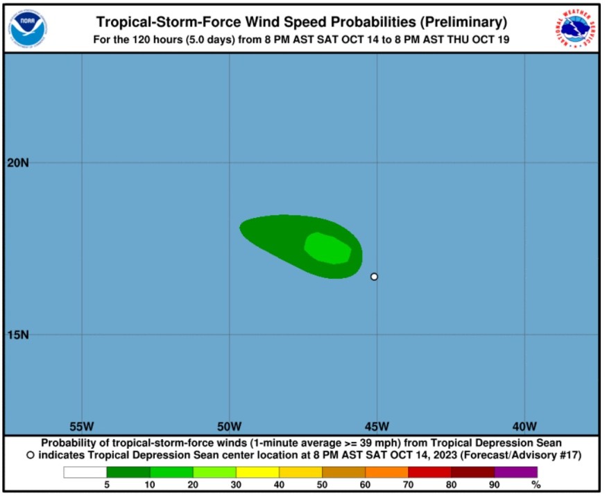
According to the National Hurricane Center and Central Pacific Hurricane Center, the center of Tropical Depression Sean was spotted at 500 PM AST (2100 UTC) near latitude 16.5 North, longitude 44.8 West.
The weather disturbance is moving toward the northwest near 9 mph (15 km/h).
Sean continues to move northwestward, or 305/7 kt. Weather experts said that as it becomes a weaker system, the depression is expected to become increasingly steered by lower-level ridging.
Due to this, Sean is expected to turn west-northwestward overnight and then westward by early Monday, just before or as it degenerates into a trough.
Meanwhile, a northwestward motion will continue through tonight and that it will have a turn back toward the west-northwest this Sunday.
Sean's maximum sustained winds are near 35 mph (55 km/h) with higher gusts. Meteorologists said that Sean's weakening is anticipated, and that it will likely become a post-tropical remnant low on Sunday.
Furthermore, the estimated minimum central pressure is 1007 mb (29.74 inches).
As it battles the wind shear, Sean has drifted to the northwest this week and is spotted well over a thousand miles to the east of San Juan, Puerto Rico, as of local time of Saturday morning.
Meteorologists defines wind shear as the change in direction and speed of winds throughout the various levels of the atmosphere, which can actually limit tropical storm formation, organization and intensification.
At present, there are no coastal watches or warnings in effect.
Weather experts also said that at present, there Sean has no immediate threat to land, but they keep on monitoring since the waters of the Atlantic remain warm and this can linger over those waters for multiple days and even weeks.
The National Hurricane Center's weather forecast has shown Sean degenerating into a remnant low in 24 hours and then dissipating by 48 hours.
Still, it is possible that the system remains a tropical depression right up until it opens up into a trough.
Next tropical storm
Meteorologists said that the next tropical storm to develop will be given the name Tammy. The tropical wave is located south of the Cabo Verde Islands.
A tropical wave is an area of low pressure that tracks westward from Africa into the Atlantic, which can organize into a tropical system when conditions are ripe. It appears that will be the case with this wave, which is expected to become better organized into next week, amid warm ocean waters and little wind shear.
They said that with about a month-and-a-half left in the 2023 Atlantic hurricane season, only two names will remain on the list of storm names to be used in the Atlantic basin if Tammy will really develop into a tropical storm.
This prompted questions about what would happen if another storm forms after the list has been exhausted.
Related Video:
© 2026 NatureWorldNews.com All rights reserved. Do not reproduce without permission.


