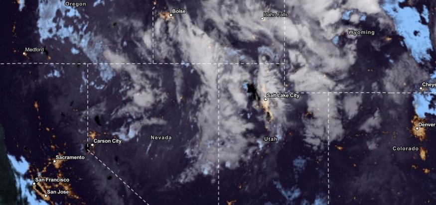
The latest weather forecast reported potential storms and snow could unload in the Intermountain West and Northern Rockies. Parts of California could experience cooler temperatures this week.
As of the September 21 advisory, winter weather advisories are present in the Northern Rockies.
Meanwhile, this week, frost and freeze advisories are posted in Northern California and Southern Oregon.
The arrival of the Fall weather is forecast for September 23, 2023, bringing cooler temperatures and the first measurable snowfall in the US. High-elevation areas could see early snow conditions.
Possible Snow in Northern Rockies and parts of the West
Recently, California suffered from extreme temperatures and wildfires. The dry conditions and heat could exacerbate the prolonged drought in the region.
However, September recorded heavy precipitation, helping to ease the heat. The forecast added that the Northwest system and the potent upper-level trough could unleash cooler temperatures.
The colder temperatures can become ideal for Americans with travel plans.
The National Weather Service (NWS) said Northern California could experience rain and snow this week. Meanwhile, a rainy outlook will be likely in the Southeast and Mid-Atlantic.
In Southern California and Northern Rockies, temperatures are expected to be below normal. The Intermountain West could experience a stormy outlook this weekend.
Potential Tropical Cyclone Sixteen
On the other hand, the National Hurricane Center is monitoring the development of developing tropical cyclone sixteen over the Southeastern US.
As of September 21, the advisory warned of possible storm surge, challenging surf and wind conditions in the Mid-Atlantic this weekend.
Poor weather conditions can bring severe weather conditions in the following areas:
- Southeastern Virginia
- Chesapeake Bay
- Pamlico
- Albemarle Sounds
- North Carolina
- New Jersey
Starting Friday until the weekend, a Tropical Storm Warning is also present in portions of the Mid-Atlantic coast and Southeast. Residents will expect the heavy rainfall this weekend.
It is too early to determine the tropical cyclone's possible landfall.
However, the cyclone's movement could intensify in the coming days. Residents in the affected areas should keep updated with the weather, especially for possible flooding rainfall this weekend.
Also Read : Isolated Tornadoes, Damaging Winds Likely to Hit Kansas City, Oklahoma, Plains This Late Week
Keeping safe from rainy outlook and flooding
The troublesome weather on the East Coast could become a concern due to the developing tropical cyclone sixteen. Residents can expect a break from the heat this month.
However, the flooding rainfall could impact flood-prone and low-lying places. Slippery road conditions, coastal flooding, power outages and travel disruptions are all possible this week.
In addition, people should avoid outdoor plans. Staying at home is recommended while checking the latest weather reports. Flooded roads are also likely, causing travel concerns.
It is best to evacuate into safe areas when flooding rain worsens.
Related Article : Severe Thunderstorms, Heavy Rain to Hit in Mid-Atlantic, Colorado, Utah This Late Week
For more similar stories, don't forget to follow Nature World News.
© 2026 NatureWorldNews.com All rights reserved. Do not reproduce without permission.


