The much-needed relief from the heat is expected in Southern Plains and Nothern Plains, especially in Dallas and Oklahoma City.
In the early weeks of September, heat advisories were issued in the Central US, Southwestern and the Southern Plains due to the massive heat dome. The high temperatures could lead to heat-related health concerns, including heat stress and exhaustion.
In the Northeast and Upper Midwest, the relief from the heat is there due to the cold front in the region. However, residents are warned of severe flash flooding and flooding due to excessive rainfall.
Cooler air in the Southern Plains: Where will it hit?
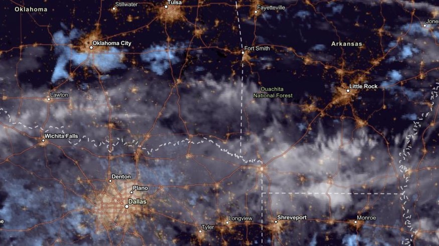
According to the NWS's advisory until September 15, rain showers and thunderstorms are expected in the Southern Plains in the late week.
In addition, weather disturbances and a moist atmosphere could also help bring the rainy conditions to the Southern Plains.
Rain moves out of the area this evening and overnight. Dry weather conditions will prevail through the end of the work week with just a small chance for showers Friday. pic.twitter.com/0sxBKcGzWA
— NWS Kansas City (@NWSKansasCity) September 11, 2023
According to the latest forecast, the cooler rain and beneficial rain will unload in the midweek in the following areas:
- Wichita
- Oklahoma City
- Dallas
- Kansas
Cooler conditions are also expected in Northern Texas. Meanwhile, the beneficial rain could also help with dry areas in Dallas, Minneapolis and Kansas City.
In Kansas City, residents could expect temperatures up to the mid-70s until the end of the week. However, residents should always bring umbrellas if rounds of rain unfold.
Hotter conditions will continue in El Paso, Odessa, Austin, Houston and Corpus Christi.
On Thursday, the cold front is also forecast in the northern Plains, Upper Midwest, Central Rockies, Northern Rockies and Great Basin.
On September 13, the advisory noted that the Eastern portions could anticipate a rainy outlook. Flood watches are present in the following areas:
- New Jersey to Southeastern New York and Southern New England
- Eastern Pennsylvania
- Northern Delaware
In the East Coast US, rip currents and dangerous surf could be likely until the weekend. Beachgoers should also watch out for challenging waves.
How to stay safe from flooding and thunderstorms
The break from the heat is forecast this week in the Northeast, Southern Plains and Upper Midwest. The cold front and gusty thunderstorms could help with the cooler air.
However, Americans should watch out for possible flooding and thunderstorms this week. Here are essential reminders to stay safe from excessive rainfall.
- Homeowners should limit outdoor activities, especially when the weather worsens.
- Motorists should also check for possible flooded road outlooks and travel disruptions.
- When lightning strikes, it is best to seek a safe shelter. Keep away from trees and any powerlines.
- Stay updated with the latest weather forecasts and severe thunderstorms this week.
- Homeowners can also keep emergency kits at home: medicines, radio, bottled water and non-perishable goods.
For more similar stories, don't forget to follow Nature World News.
© 2026 NatureWorldNews.com All rights reserved. Do not reproduce without permission.


