Two storms will hit the United States this week as a new round of snow, rain, and thunderstorms will hit the country recovering from previous winter storms since the start of 2023.
Disruption to road travel and flight operations is possible.
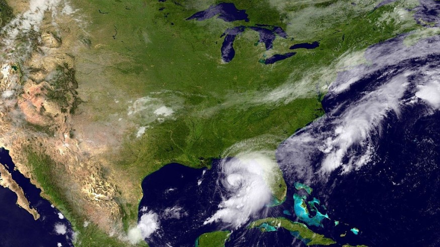
US Storm Alert
The two storms expected to bring further rounds of severe weather in the South Central states and snowfall in the interior West this week will also cause bands of snow that can disrupt travel from parts of the central Plains to the Upper Midwest, according to AccuWeather meteorologists.
The first of the two storms is weaker but will bring three to six inches of snow from northeastern South Dakota to northern Minnesota from late Tuesday to Wednesday, February 14 to February 15.
North Dakota's Fargo city will be one of the most populated areas to experience heavy snow accumulation from the storm, the meteorologists forecasted.
In particular, the first storm will cause snow precipitation into the interior West by Monday night, February 13, but it will not make a significant impact in terms of winter weather conditions until it reaches the northern part of the Central states from Tuesday afternoon to Wednesday, based on the AccuWeather forecast.
Meanwhile, the second storm is anticipated to be more disruptive along a widespread area of the Central US from Wednesday to Thursday, February 16, the meteorologists added.
This storm will create a stretch of snow band from midweek to late week ranging from hundreds of miles to the Southeast US.
New Winter Storm
The National Weather Service (NWS) described the first system of unsettled weather as a "winter storm" that will bring heavy snow and strong winds the country's Four Corners region through the central High Plains on Tuesday and Wednesday.
This prediction is prior to the storm's potential to extend into the Upper Midwest and the Great Lakes on Thursday and Friday, February 17.
In its latest short-range forecast, the Weather Prediction Center (WPC) of the NWS states the unsettled weather will across the West in the coming days with heavy mountain snow over the Four Corners and in the Cascades.
It also tackles the low-pressure system with showers and thunderstorms over the central-southern Plains from Monday to Tuesday.
In addition, the US weather agency hints of a mild and mostly calm weather for the eastern half of the US from the start of the week.
However, affected regions could experience potential disruptions such as power outages and travel disruptions.
Severe Weather Outbreak
Severe weather, along with heavy rain and flooding, is possible across the US this week.
On Sunday, February 12, the FOX Forecast Center said that the first storm will move into California starting Sunday and the its counterpart will follow from the Pacific Northwest in the next few days.
This means both storm systems will be hailing from the Pacific Ocean.
While flooding rain and severe thunderstorms are commonplace during such phenomenon, the colder side of the storms will cause the anticipated swath of snow the US has seen in weeks.
Moreover, the warmer side of the storms could led to the generation of sever storms and flooding across the South US, the center added.
© 2026 NatureWorldNews.com All rights reserved. Do not reproduce without permission.


