An arctic blast will cover most parts of the US in the coming week and before Christmas Day on Sunday, December 25, according to US meteorologists.
The arctic air is expected to bring travel-disrupting and life-threatening cold temperatures and heavy snow across the Lower 48 states.
Power outages and flight cancellations or delays are possible.
Dangerous road conditions are likely to continue in the coming days.
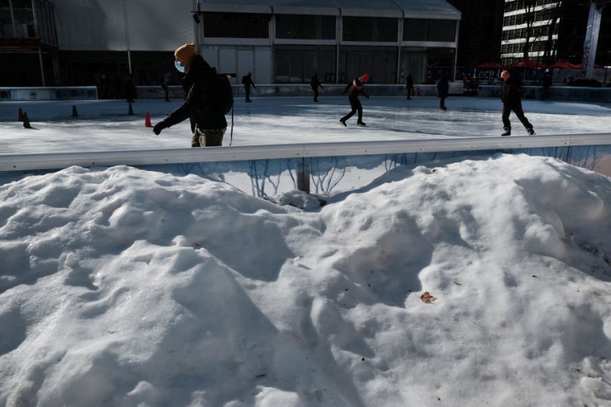
The incoming cold air follows a previous storm system in the form of a massive winter storm that struck the country over the past week.
It buried some parts of the Northeast with thick snow and causing widespread travel chaos and power outages, as well as multiple car crashes.
The looming arctic cold front also comes after the recent multi-day storm and severe weather outbreak.
NWS Special Weather Statement
The National Weather Service (NWS) issued a Special Weather Statement on Sunday morning, December 18, warning about the rare and hazardous arctic airmass expected to surge towards the Gulf coast later this week and will bring multiple weather hazards, including a hard freeze and dangerous wind chill conditions.
These hazards could start as early as Thursday night, December 22.
The weather will get worse before it gets better again for most parts of the US, and this is based on a potential "significant winter storm" across the eastern two-thirds of the US during the second half of the coming week before December 25, according to the latest weather forecasts from the Weather Prediction Center (WPC) of the NWS, as cited by The Los Angeles Times.
Arctic Air: Winter Storm
The WPC warned that the main weather story for next week will be the massive expansion of frigid temperatures from the Northern Rockies or Norther Plains to the Midwest by midweek.
It will then reach the Gulf Coast and most parts of the Eastern US by Friday, December 23 and into the weekend.
A powerful arctic front will pave the way for the coldest air of the winter season by a significant margin, with the possibility of widespread subzero readings for the Rockies, Plains, and Midwest, reaching as far as northern Oklahoma and southern Missouri, the LA Times reports.
AccuWeather Forecast
AccuWeather Meteorologist Elizabeth Danco also stated the Arctic air can cover most parts of the centra-eastern US before the holiday weekend, threatening the occurrence of the coldest weather leading Christmas in decades.
AccuWeather forecasters said a frigid air is already above the northern Plains following the powerful and prolonged storm system that brough days of blizzard conditions during the last half this past week.
Now, "Old Man Winter" could be worse as the first of two waves of severe cold approached North America earlier this week.
Near-freezing temperatures could also damage or destroy crops in the far southern parts of Texas during Hanukkah and around Christmas, according to AccuWeather senior meteorologist Bill Deger.
There is also the possibility of hard freezes along the Interstate 20 (I-20) and Interstate 10 (I-10) corridors, Deger added.
© 2026 NatureWorldNews.com All rights reserved. Do not reproduce without permission.


