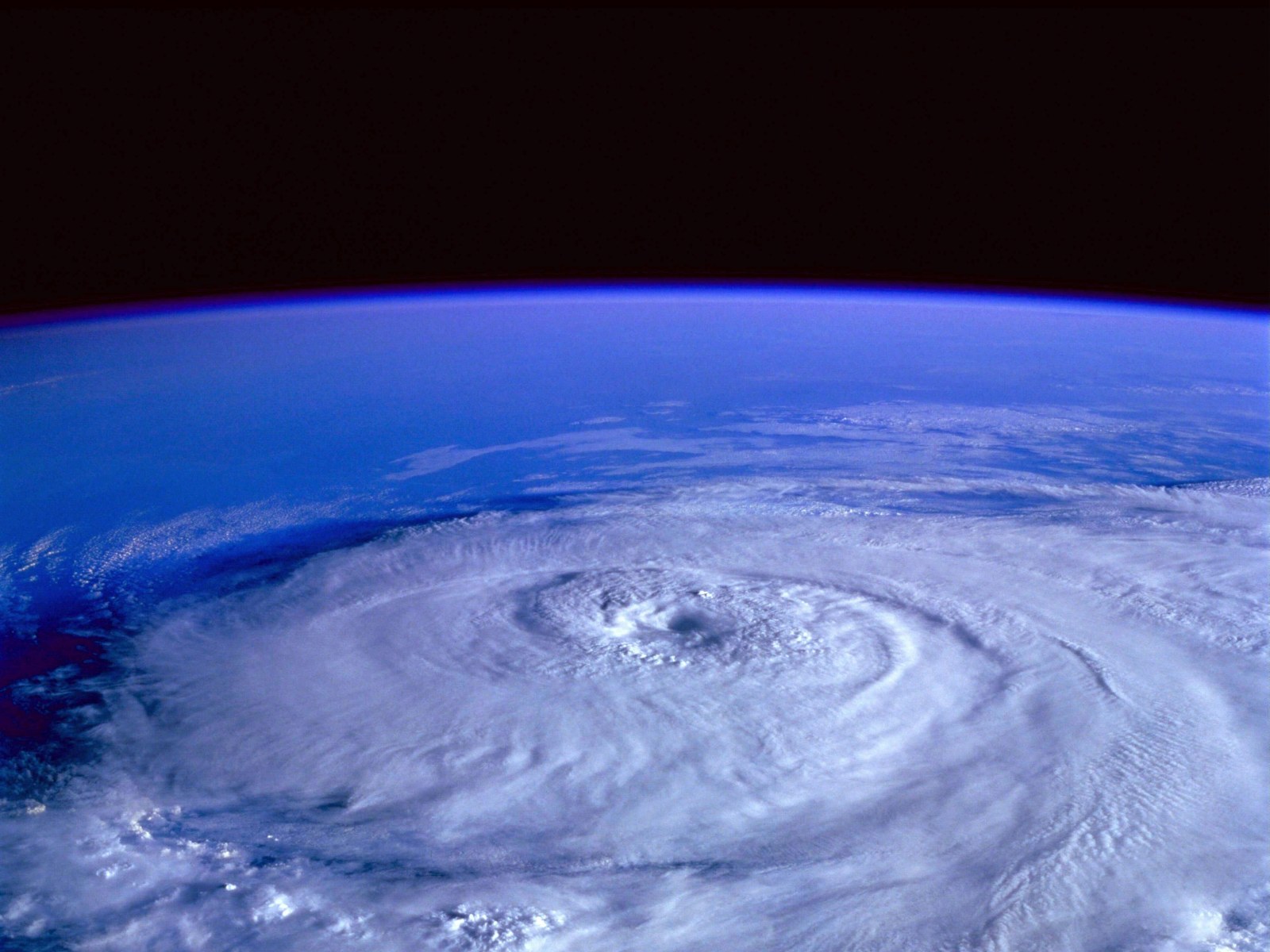
From Texas to Nebraska, severe weather is anticipated through Friday. This will result in scattered thunderstorms, a chance of tornadoes, and strong winds.
The Plains are expected to experience numerous thunderstorms late this week, which could threaten damaging winds as well as some tornadoes from parts of Texas throughout Oklahoma, Kansas, and Nebraska.
By late Thursday, a strong jet stream disturbance and the corresponding cold front will enter the Plains states and block the surging humidity from the Gulf of Mexico. Due to this, a broad region of rain and thunderstorms will develop across the central states, with the potential for severe weather as well as localized flooding rainfall.
Severe Weather Ahead
Starting late Thursday night and continuing into early Friday morning, severe to very severe thunderstorms may begin to form. It's then possible to encounter sporadic storms that bring about destructive straight-line winds and a few tornadoes in an area extending from southwest Texas to northwest Oklahoma, central Kansas, and south-central Nebraska.
On Friday, the potential location for severe storms will move further south and east, particularly from the central Oklahoma area to areas in eastern and central Texas. Houston, Austin, Dallas-Fort Worth, Oklahoma City, and Dallas-Fort Worth are a few of the major cities that could experience severe weather. In the western portion of the orange-shaded regions on the map below, strong to severe storms may be continuing throughout the morning hours.
The remainder of the day could see this threat extend to the areas east of the Interstate 35 corridor. The main threat will be damaging wind gusts, however, risks of a few tornadoes also loom in the area. Rainfall will help drought-stricken areas, but there may be some isolated flash flooding.
As that occurs, the availability of unstable air will increase, lowering the threat of severe weather as a whole. However, a few strong storms in the lower Mississippi Valley cannot be completely ruled out, Weather Underground reports.
Weather Advisories
According to the National Weather Service, Dense Fog Advisories issued in different areas of Texas ended by 10 AM today. However, parts of southeast New Mexico, the southwest, and western Texas are placed under Hazardous Weather Outlook for the next seven days.
The Hazardous Weather Outlook was issued at 9:59 AM today, Day One of the weeklong outlook.
In parts of Southeast New Mexico, Upper Trans Pecos, the Permian Basin, and Lower Trans Pecos this morning, in addition to the far southwest Texas Panhandle and the western South Plains, patchy fog is anticipated to develop.
Read also : Tropical Storm Martin Forms over the Atlantic Ocean, Joins Tropical Storm Lisa in the 2022 Season
Fire Weather is anticipated for Day One in Oklahoma. A small area of northwest Oklahoma will experience increased fire danger hazard this afternoon due to strong southerly winds near a dry line.
Strong winds may be present across the Delaware and Guadalupe Mountains on Days Two through Seven from Thursday afternoon to Friday afternoon.
There may be a few storms across some of the Permian Basin on Thursday evening through Friday morning, some of which may be strong.
Friday into early Saturday, a cold front and upper-level storm system will pass through Texas. From Friday afternoon until late Friday night, strong to severe thunderstorms are likely to affect South Central Texas, mainly the central and eastern regions. Although isolated tornadoes and some large hail cannot be ruled out, damaging winds are expected to be the main severe threat.
Air Quality will be Fair, which is generally acceptable for most individuals, for the next four days or until Saturday as per AccuWeather data.
Related article : Dense Fog Advisory in Effect Over Illinois Counties as November Starts
© 2026 NatureWorldNews.com All rights reserved. Do not reproduce without permission.


