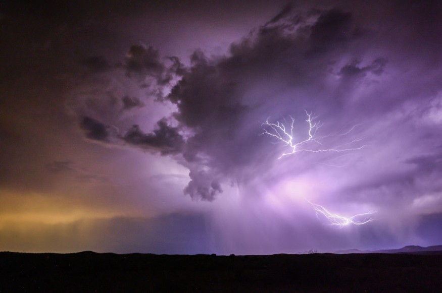
Severe thunderstorms and fire weather are possible in the Central US on Tuesday, October 11, according to US weather authorities.
The weather forecast indicated a cold front could trigger strong to severe storms from the Upper Mississippi Valley to the central Plains.
Meanwhile, dry and gusty winds will lead to critical fire weather conditions over parts of the central Plains, causing the potential wildlife growth.
A series of weather hazards such as heavy rainfall, large hail, and isolated tornadoes are possible due to the severe weather.
The inclement weather could also trigger massive flooding in some parts of the region, affecting both residential and business establishments, as well as travel.
The region could also experience humid conditions or a hot weather, which are in favor in the eruption and spread of fires.
The forecast comes several months after powerful storm systems wreaked havoc across the region in recent months, particularly during the spring and summer seasons.
Multiple people were killed in multiple areas, especially caused by twisters.
It also transpired more than a week after related forecasts of cold front systems threaten the Pacific Northwest and the Northeast US.
NWS Forecast
The National Weather Service (NWS), through its Weather Prediction Center (WPC), issued the said weather outlook at 4:12 p.m. EDT (local time) on Monday, October 10.
The forecast shows there is a slight risk of excessive rainfall over areas in the Southern High Plains until Tuesday morning.
Meanwhile, it also mentioned there were frost advisories and freeze warnings in effect over parts of the interior Northeast, as well as in coastal Maine on Monday evening.
Also Read: Severe Storms with Damaging Winds and Tornadoes to Hit the Central United States This Coming Week
Heavy Rain and Thunderstorms
A weak shortwave energy will support the development of heavy rain and thunderstorms over parts of the Southern Plains, where the risk of showers is possible within potent thunderstorms.
The shortwave is then forecasted to spread into the Middle Mississippi Valley and Midwest by Tuesday.
The shortwave will integrate with and aggravate a widespread upper-level trough descending over the Plains and Mississippi Valley.
In addition, a cold front is expected to sweep across the northern-central Plains on Tuesday and become the focus for torrential rain and storms above the Midwest from Tuesday night to Wednesday, October 12.
The thunderstorm activity may eventually spread to into the Ohio Valley and the Southeast US by Wednesday evening, wherein scattered to isolated showers and thunderstorms could form around a stationary or static front across the Florida Panhandle in the coming days.
Cold Front
The NWS forecast is also in line with the report of Fox Weather, which said that severe storms with damaging winds and hail threatened the Midwest and the East Coast this week due to the advancement of a cold front across the US.
The front is expected to bring several inches of rain and cause potential flash flooding in low-lying areas and those that are near inland bodies of water.
The FOX Forecast Center states fall is the second severe weather season since cold air from Canada starts to spill into the US, clashing with warmer and more humid air from the Gulf of Mexico.
© 2026 NatureWorldNews.com All rights reserved. Do not reproduce without permission.


