According to the director of the Federal Emergency Management Agency (FEMA), climate change has rendered current US flood maps outdated. As a "perilous and life-threatening crisis" strikes Georgia, Deanne Criswell calls for updating the flood maps.
FEMA Concern
The Federal Emergency Management Agency (FEMA) stated on Sunday that the federal government's flood maps are out-of-date in light of a string of disastrous floods brought on by excessive rainfall brought on by climate change. The worsening conditions due to global warming calls for updating the current flood maps.
"The part that's very problematic right now is that our flood maps don't take into account extreme rain that comes in," Deanne Criswell said on CNN's State of the Union. Additionally, we see these record-breaking downpours.
Criswell was asked about the situation in Jackson, Mississippi, where inhabitants were left without drinkable or useful water when city water systems failed due to severe flooding on the Pearl River.
Extreme Weather
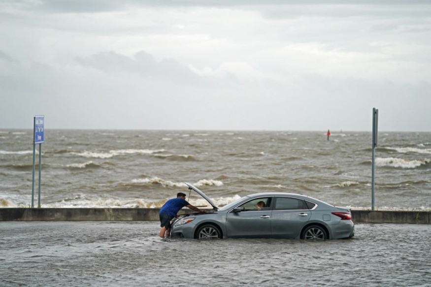
Flash floods were caused on Sunday as thunderstorms and torrential rain pummeled sections of northwest Georgia. Local news reports displayed flooded roads and distressed homeowners.
Brian Kemp, the governor of Georgia, declared an emergency and ordered all state resources to assist with "preparation, response, and recovery actions" in the counties of Chattooga and Floyd.
Rainfall rates of up to an inch per hour were reported by the National Weather Service (NWS). According to Kemp's executive order, it was estimated that up to 12in had fallen.
"This is a hazardous and life-threatening situation," the NWS said. Don't try to travel unless you are following an order to evacuate or are leaving a flood-prone location.
Anticipating Strong Weather Events
The problems in anticipating and responding to the climate issue will focus due to extreme rainfall and flooding.
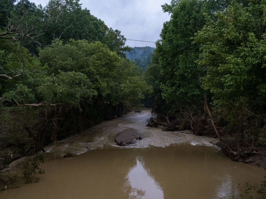
Last month, rainfall in Missouri, Kentucky, and Illinois shattered 100-year-old records, wreaking havoc on towns, structures, and infrastructure.
According to Criswell, "Fema's maps currently concentrate mostly on riverine floods and coastal flooding, and we cooperate with local jurisdictions to update the maps."
Outdated System
Federal maps significantly overestimated the number of houses and businesses in severe danger by 67%, according to a nonprofit flood risk analysis conducted in 2020 that looked at every property in the 48 contiguous US states.
The NWS in Georgia on Sunday deemed Summerville, Lyerly, and James H Floyd State Park in Chattooga county to be in a "flash flood emergency." The nearby Floyd county was also under a flash flood warning. The NWS issued a warning against non-emergency travel.
Due to catastrophic flooding at the Raccoon Creek Filter facility, Summerville warned households to use the city's water services to boil water before drinking, cooking, or making baby food.
For similar news, don't forget to follow Nature World News!
© 2026 NatureWorldNews.com All rights reserved. Do not reproduce without permission.


