Recent days have been quiet and seasonable, with nothing in the way of excessive heat or extensive rains, mostly over the Midwest and Great Lakes.
But according to AccuWeather analysts, this week will bring a change of pace with thunderstorms, and maybe even some severe weather throughout parts of the region.

Intense Storms
Storms started to develop throughout western Minnesota, far eastern South Dakota, and parts of Nebraska on Sunday afternoon, according to an AccuWeather report.
Storms peaked in strength around dusk in parts of western Wisconsin.
In Wisconsin, near Shell Lake, swiftly passing thunderstorms caused wind damage.
As always, for severe thunderstorms to form, specific conditions must be met at precisely the right moment, as per Britannica. In this instance, several days of disruptive thunderstorms will be anticipated.
The severe danger will shift with the storm system as it moves east to begin the regular workweek.
Strong and severe storms might impact a large region that stretches from Illinois through Ohio, Kentucky, and far western Pennsylvania, as well as northward to southern Ontario.
Extreme Weather

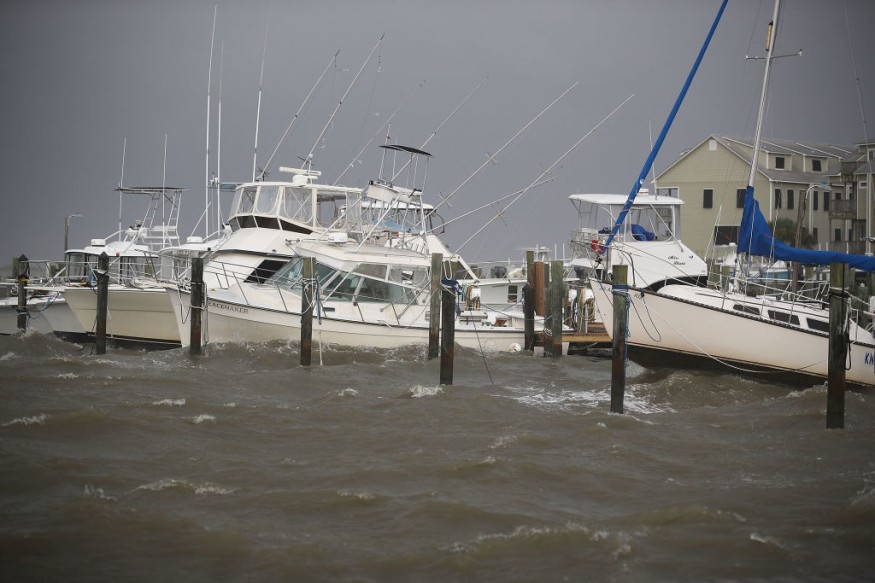
There will be a chance for hail, destructive wind gusts, and a few tornadoes.
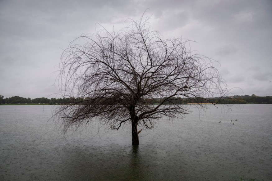
Flooding will also be a problem, particularly in areas like Kentucky, where severe flooding has already occurred. Trees may also fall at lower wind speeds when the ground is already moist, causing more damage.
Even while the worst storms are often isolated, their wide range makes them potentially dangerous, especially for travel.
Travelers may need to allow more time to get where they're going because several congested interstates run through the danger region.
The evening commute in places like Indianapolis, Detroit, and Columbus, Ohio, may be affected if storms form again in the afternoon.
Despite the possibility of a morning shower or thunderstorm, Chicago is most likely to stay north of any severe storms.
Storms will keep moving southeast well after nightfall. It's possible for cities like Lexington, Kentucky, Cincinnati, and Cleveland, Ohio, to see some ferocious late-night thunderstorms on Monday.
On Tuesday, as temperatures rise over the middle of the country, the possibility of more severe weather will return to the Upper Midwest.
Residents of towns like Green Bay, Wisconsin, Minneapolis, and Duluth, Minnesota, will have to avoid more storms.
It is also possible that there may be a few tornadoes, given the likelihood of hail and destructive winds.
According to AccuWeather Senior Meteorologist Dan Pydnowski, "With a robust jet stream connected with this new storm system, there may be enough wind shear for a tornado hazard to emerge."
On Wednesday, storms will then move closer to the east.
Extreme Weather Danger

According to AccuWeather meteorologists, a significant severe weather danger may develop in a large region that stretches from southern Ontario to Iowa.
The threat of severe thunderstorms is unlikely to diminish very soon, despite the fact that the location of the worst storms is still not entirely certain.
Related Article : Exposure to Major Disasters Can Cause Long-Term Mental Health Problems
For more climate and weather updates, don't forget to follow Nature World News!
© 2026 NatureWorldNews.com All rights reserved. Do not reproduce without permission.


