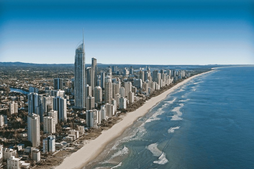
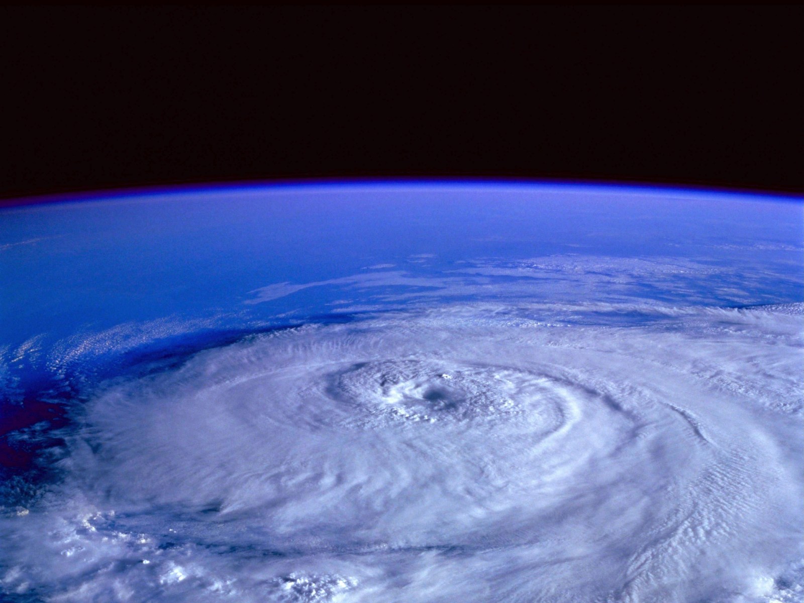
An East Coast Low located off the coast of Eastern Australia is expected to bring risks of increased winds, rainfall, and surf conditions this week, according to a weather forecast of Australia's Bureau of Meteorology (BoM).
This means areas along the Australian East Coast are at risk of coastal flooding due to the combination of potential torrential rain and tidal waves caused by strong winds.
In particular, the forecast said that the storm system is expected to affect coastal communities of southeast Queensland from Wednesday, July 20, and northern New South Wales from Friday, July 22.
With this, the BoM is continuing the monitoring of weather disturbance, also called a low pressure area or a low pressure system.
There are no further indications at this time if the East Coast Low will develop into a strong storm system, such as a tropical depression or a full-blown cyclone.
Australia is currently in its winter season, which spans from June to August, yet the occurrence of storms is still possible.
The looming threat could transpire several months after the Australian regions received a heavy blow of widespread flooding due to river overflow caused by heavy rain.
The catastrophic natural disaster occurred during the first quarter, resulting in large-scale evacuation, disruption of commercial establishments, and evacuation of residents.
Australia Weather Forecast

The BoM issued the country's latest weather forecast on Tuesday, July 19, which predicts that despite the approaching East Coast Low most rainfall will occur offshore and riverine flooding.
However, there is a risk for localized creek and river level rises.
The Australian weather agency has not issued any Flood Watch but said it will review the weather conditions each day.
In addition, large waves along with damaging winds are possible in southeastern Queensland.
From Wednesday, southeasterly winds will develop on the Queensland coast, particularly south of Mackay and could extend to New South Wales starting Thursday, July 21.
As the low pressure area deepens, the wind is projected to intensify from Friday by wind gusts of up to 90 kilometers per hour and last even until early Saturday, July 23.
Also Read : New South Wales Warning: East Coast Low Expected to Bring Heavy Rains and Flashfloods Next Week
East Coast Low
The said low pressure system is developing over the Coral Sea, situated off the eastern coast of Australia.
In the past, weather warnings for damaging winds and damaging surf conditions from an East Coast Low have been issued during an impending potent storm system.
So far, no related warnings have been issued as of Wednesday. However, such issuance is still possible by the end of the week.
In 2016, the entire coast of New South Wales was struck by a strong East Coast Low, causing widespread torrential rain, damaging winds, and flash flooding.
Coastal erosion also occurred due to the so-called effects of "surf and king tides," or above-average waves, according to the Australian Institute for Disaster Resilience.
The weather event killed two people and resulted in wide-scale property damage, including 600 houses that were affected and cost $304 million worth of damage.
© 2026 NatureWorldNews.com All rights reserved. Do not reproduce without permission.


