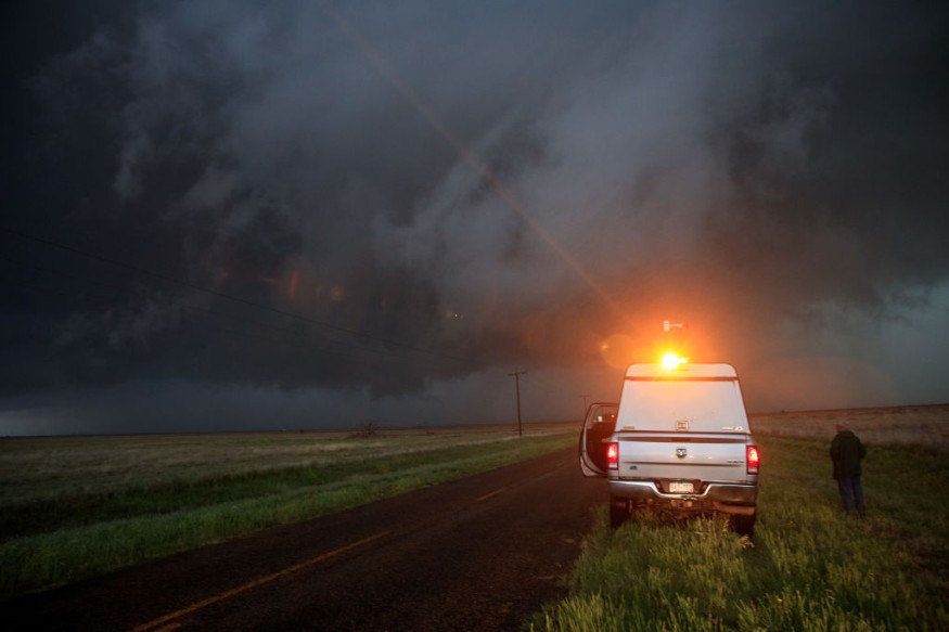
A derecho or line of storms on Tuesday, July 6, plowed through the northern tier of the United States, including the northern Plains and the Midwest.
It injured four people, left thousands of people without power, and caused extensive damage to property and infrastructure.
US weather authorities reportedly received hundreds of cases related to destructive winds and hail, which mainly affected South Dakota and Iowa.
The storm complex was part of a severe weather moving across the eastern half of the country, as previously forecasted by meteorologists.
Sky Turns Green
The New York Times reported that the severe storm turned the Sioux Falls sky green before the derecho struck the South Dakota city on Tuesday.
The US media outlet also mentioned that a number of people took to social media to share the images of the green skies, which were also recorded by traffic cameras of the South Dakota Department of Transportation.
While the climatic event has been considered spectacular and unusual, previous studies have already explained that skies sometimes turn green or bluish green before an approaching thunderstorm.
The prevailing research suggested that the atmosphere's absorption of sunlight, especially during sunset or sunrise, is the key into the color transformation.
What is a Derecho?
The National Weather Service (NWS) defines a derecho as a rare type of thunderstorm, describing it as a "widespread, long-lived wind storm" that is connected to a line of moving thunderstorms with strong winds.
The weather phenomenon can cause destruction similar to the intensity of tornadoes.
The wind strength of derechos is also often compared to hurricanes, with the former being only relatively weaker but is still destructive.
The NWS emphasized that the damage of the weather event is normally geared toward a straight directional line, wherein the term "straight-line wind damage" was derived from.
The US weather agency said that the qualifications for a weather disturbance to become a derecho is when wind damage swath extends over 240 miles (approximately 400 kilometers).
It should also have wind gusts of at least 58 miles per hours (93 kilometers per hour).
Thunderstorm Complex
The Storm Prediction Center (SPC) reportedly considers the ongoing thunderstorm complex as a derecho following a discussion, according to a Twitter post by the NWS Sioux Falls on Wednesday, July 6.
After discussing with SPC, today's still ongoing thunderstorm complex will be considered a derecho.
— NWS Sioux Falls (@NWSSiouxFalls) July 6, 2022
The peak winds so far have been 96 mph in Huron, SD and 99 mph near Howard, SD but there have been many high wind reports.
Interactive Reports: https://t.co/kQnFnpR1w2 pic.twitter.com/4m7ZTOIGQQ
Based on the tweet, the peaks winds of the rare phenomenon have reached 96 miles per hour in Huron, South Dakota and 99 miles per hour in Howard, South Dakota.
According to the "day 1 convective outlook" of SPC for Thursday, July 1, some of the following areas with a relatively large population are at risk from the severe weather:
- Charlotte, North Carolina
- Raleigh, North Carolina
- Greensboro, North Carolina
- Norfolk, Virginia
- Virginia Beach, Virginia
- Denver, Colorado
- Kansas City, Missouri
- Atlanta, Georgia
- Omaha, Nebraska
- St. Louis, Missouri
The US storm agency also issued a summary forecast that scattered severe thunderstorms are still possible across parts of the upper High Plains and Rockies, central High Plains, and areas from Virginia to the Carolinas.
© 2026 NatureWorldNews.com All rights reserved. Do not reproduce without permission.


