Damaging winds from a potential derecho or inland hurricane is threatening the Midwest and Mid-Atlantic overnight from Monday to Tuesday, June 13 to June 14, AccuWeather meteorologists warned.
The lethal weather phenomenon is possible when fast-moving thunderstorms with hurricane-like winds merge, causing widespread destruction and disruption.
AccuWeather forecasters projected that the storm system could also spawn tornadoes and produce torrential rain with flooding traveling hundreds of miles, affecting areas from southeastern Wisconsin, western Michigan, Virginia, to Maryland.
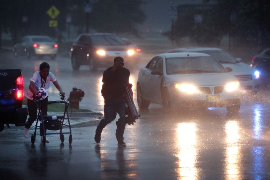
Power outages are likely in the said regions as high winds from the system could down power lines and damage other electricity-related infrastructure such as power stations.
Both domestic and international flights in some parts of the United States could be delayed, diverted, or cancelled.
In May, a powerful derecho killed two people in South Dakota and Minnesota.
The same phenomenon also killed at least 10 people across Canada last month.
Related weather events in the past have caused large-scale blackouts, including in Iowa where over 100,000 were left without power.
Derecho Storm Alert
AccuWeather senior meteorologist Alex Sonowski on Monday, June 13, reported that forecasters in the weather forecasting company have raised the alert that there is plausible chance a derecho will form with high pack winds and heavy rain.
However, the meteorologist claimed that the direction of the storm complex could absorb and spread high temperatures or extreme heat and high humidity currently scorching the Great Plains and Mississippi Valley.
The areas forecasted to be first affected are Milwaukee, Wisconsin; Chicago, Illinois; Detroit, Michigan; and Columbus, Ohio.
Power Outages
AccuWeather also cited a tweet from Twitter user Max Tsaparis on Monday afternoon, indicating that 13,000 power outages in Madison, Wisconsin.
Meanwhile, over 150,000 customers were left without electricity as the severe storms ripped through Cincinnati, Ohio, according to local media outlet WLWT5
Related power outages are likely to occur in other areas in the coming hours.
What is a Derecho Storm?
The National Oceanic and Atmospheric Administration (NOAA) - National Weather Service (NWS) defines a derecho as a "rare type of severe thunderstorm," best described as a prolonged wind storm.
It consists of moving thunderstorms or showers in a rapid pace.
The inland hurricane is also compared with the intensity of tornadoes.
However, a derecho is different since its damage is normally faced in one direction along a straight line.
Unlike other named storms or weather disturbances, the movement of the so-called "derecho storm" is more predictable.
As a comparison, the recent derecho in Canada traversed in an eastward pattern across the country, leaving a trail of destruction in Ontario and Quebec, as well as its surrounding areas.
The strength of the derecho lies in its hurricane-force winds, which was outlined by the NOAA - NWS to reach 240 miles (400 kilometers) with wind gusts of over 58 miles per hour (93 kilometers per hour).
The formation of a derecho stems from a bow echo, which can come from a group of thunderstorms or a single thunderstorm.
The latter is produced when atmospheric winds are stronger than normal and wind directions are not linear, the US weather agency explains.
Related Article: Derecho Causes Havoc Across Midwest
© 2026 NatureWorldNews.com All rights reserved. Do not reproduce without permission.


