As of late, millions of people across the Northeast have been enjoying stretches of dry, seasonable weather with low humidity and few afternoon thunderstorms.
According to AccuWeather, a series of storm systems will stop the pleasant weather this week, with rain starting to fall in some locations on Tuesday.
Rainy Days
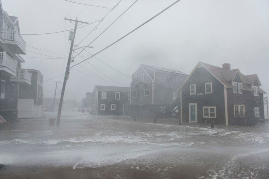
Over the last couple of days, rain has saturated places further west. The National Weather Service issued a flood watch for the metro region after a soggy start to the week in Detroit. The downpour was followed by larger storms that brought heavy rainfall and locally severe wind gusts as it moved south from Ohio to Alabama. On Tuesday, vehicles were reportedly hampered by flood waters in Gadsden, Alabama, as the region was under a flood warning until the late hours.
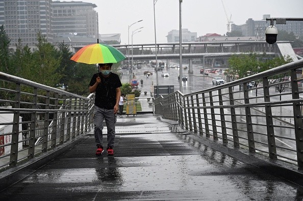
While such severe storms are unlikely further east, a swath of rain will fall on Tuesday in several parts of the country. The lovely weather will end in cities including Burlington, Vermont, Buffalo, New York, and Pittsburgh when the rain approaches. An influx of moisture from the Gulf of Mexico and the Atlantic Ocean will provide the fuel for drenching thunderstorms to form inside the rain.
Rain Forecast
Most of Tuesday's rain avoided cities close to and east of the Interstate-95 corridor, with 0.28 inches of rain reported in southern Pennsylvania. However, experts predict that the good fortune will not continue long.
The front's eastward advance will likely halt by Wednesday, giving the Eastern Seaboard more time to enjoy rainy weather.
"While a front moving into the Northeast by early Wednesday may bring a few showers, substantial rain isn't forecast," AccuWeather Senior Meteorologist Carl Babinski stated. "However, the front is anticipated to stall by late Wednesday, enabling a wave of low pressure to build and move along the coast."
This will lay the setting for another round of heavy rain to hit the Northeast on Wednesday night and Thursday, with the worst rain expected around the coast on Thursday.
"A region from the mid-Atlantic to New England might get 1 to 2 inches of rain on Thursday alone," Babinski said, adding that this rain could cause flooding difficulties.
Flooding may be more dangerous in metropolitan cities and other urban areas. In contrast to rural regions, most of the land is covered with concrete surfaces that do not absorb water. This results in more runoff, which can exacerbate the severity of any floods.
Weather Trajection
As the storm moves Northeast, commuters in New York City could expect substantial delays Thursday morning and Thursday morning and lunchtime in Boston. Some roadways may get flooded in low-lying metropolitan areas with inadequate drainage or absorb water after major rain events.
Outside of cities, however, localized flooding remains a possibility, particularly in low-lying and historically flood-prone areas.
Several parts of the East Coast have had unusually significant rainfall in recent weeks. In May, Washington, D.C., received 161% of its usual rainfall, while New York received 114%. Because the earth is already wet, it will take less rain to cause floods.
While much of the East Coast will be spared rain on Friday, the following system will arrive just in time for the weekend to begin.
Raining on Outdoor Activities
Heavy rain might derail outdoor activities such as parades, ballgames, cookouts, and yard work on Saturday. There will likely be a few breaks in the rain during the day, but Saturday will most likely stay rainy.
Related Article : Exposure to Major Disasters Can Cause Long-Term Mental Health Problems
For more climate and weather updates, don't forget to follow Nature World News!
© 2026 NatureWorldNews.com All rights reserved. Do not reproduce without permission.


