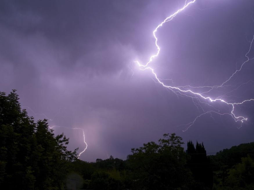
While thunderstorms loomed across much of the Plains for several days, the northeastern United States experienced a period of calm and dry weather over the weekend, replete with low humidity and seasonable late-spring temperatures.

According to AccuWeather analysts, rain, thunderstorms, and increased humidity make for an unpleasant first part of the week. Some storms in the Plains may become severe.
Raging Storms
Storms have been raging throughout the Plains for many days. The Storm Prediction Center received nearly 40 severe weather reports on Saturday, including two tornadoes near the Colorado/Kansas state boundary. Hail the size of baseballs was recorded in Curtis, Nebraska.
On Sunday, hail was the most serious concern, with baseball-sized hail recorded near Callaway, Nebraska. Over 90 extra severe weather reports were recorded in total. Storms coalesced overnight into a line of severe storms that swept over Kansas and Oklahoma.
On Monday, the threat will reappear over parts of the same areas, developing just east of the Rockies and advancing eastward over the evening and nocturnal hours, as is typical for early June.
"Many of the strong storms expected early this week will occur at night, heightening the risk," said AccuWeather Senior Meteorologist Michael LeSeney.
Severe storms will be especially dangerous for travelers on interstates 35, 70, and 80 on both days. Tractor-trailers and other high-profile vehicles can veer and tip over due to sudden gusts of wind. Large hail, the size of golf balls or larger, can damage cars and smash windshields.
To avoid a hailstorm, drivers should avoid stopping beneath overpasses since this can block roads and cause accidents when paired with low visibility.
Extreme Weather Throughout the Week
There's a chance that Monday's storms may coalesce into a fast-moving squall line overnight, pushing the threat of severe winds east through Kansas.
On Tuesday, severe storms will threaten many of these same locations, with the hazard area spanning from western Nebraska to eastern New Mexico. Hail, wind, and tornadoes are possible, just as they were the day before.
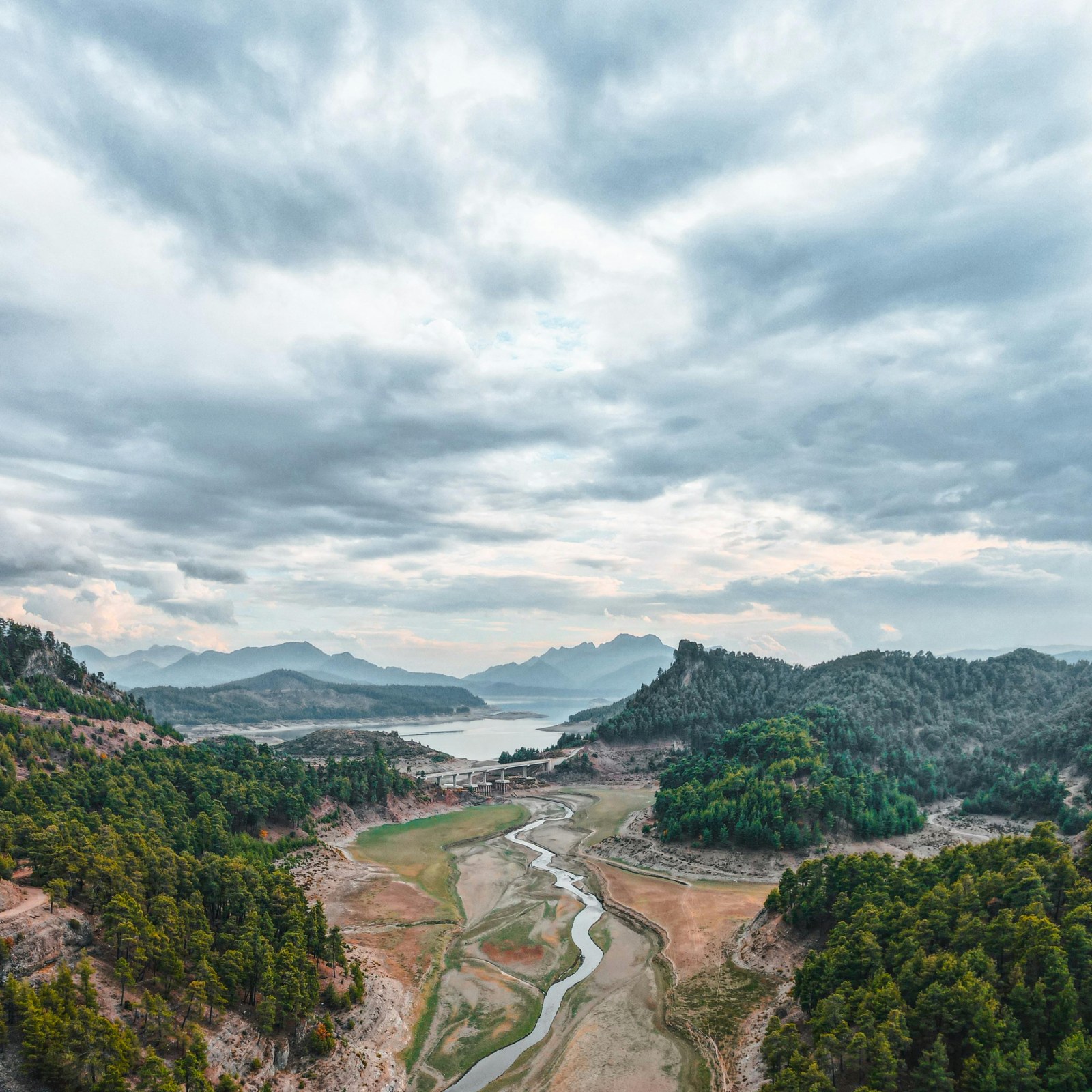
These storms may bring severe winds and hail, but they can also provide heavy, beneficial rain. According to the United States Department of Agriculture, nearly all western Plains are experiencing drought.
These linear thunderstorm complexes account for a major amount of the rainfall seen in the Plains throughout the growing season, according to Drought Monitor. Many cities in the vicinity have only gotten half of their usual annual rainfall.
While the regular rains will help alleviate the drought, the frequency of flash flooding occurrences might rise this week due to the thunderstorms.
Trajectory and Intensity
Meanwhile, further to the east, thunderstorms and rain pockets will form. A front will slowly move eastward over the country, allowing a swath of rain and storms to form when paired with a rush of moisture from the Gulf of Mexico.
This will also allow a significant threat to spread further east over the Ohio Valley. Cities including Memphis, Tennessee, Louisville, Kentucky, and Fort Wayne, Indiana, will be dodging rain and thunderstorms throughout the day. Large hail and tornadoes are less likely with these storms than with storms further west, but strong to possibly destructive winds are expected, with an AccuWeather Local StormMaxTM of 70 mph.
Storms will bring the potential of flooding as they pass through, particularly in low-lying and poorly draining regions. While not all storms will be severe, numerous rounds of rain will pass through in a short amount of time, causing rainfall totals to swiftly build. This is referred to as "training."
Showers and storms are expected to be focused across the Midwest and Ohio Valley to begin the week. Residents in places like Chicago, Detroit, and Cincinnati will almost certainly require an umbrella at this period, and outdoor activities may need to be reconsidered.
While thunderstorms are forecast, they are unlikely to cause significant damage. While a few storms may be stronger than others and deliver powerful gusts, storms are unlikely to reach severe levels.
Storms will continue to move eastward on Tuesday, eventually settling over the Northeast. During the late-day and nighttime hours, cities like Baltimore, Maryland, Pittsburgh, Pennsylvania, and Buffalo, New York, will see their dry and beautiful weather abruptly cease.
Related Article : Exposure to Major Disasters Can Cause Long-Term Mental Health Problems
For more climate and weather updates, don't forget to follow Nature World News!
© 2026 NatureWorldNews.com All rights reserved. Do not reproduce without permission.


