Severe weather will hit the United States again several days after a warm, humid air, according to a new US weather forecast by AccuWeather meteorologists.
Starting early this week, dozens of millions of Americans will be at risk of dangerous severe thunderstorms, particularly residents in densely populated urban areas.
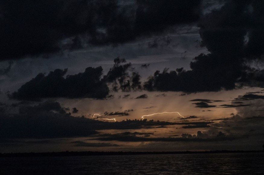
Previous adverse weather conditions across the country have produced torrential rain, damaging winds, large hail, and isolated tornadoes.
Land, sea, and air travel are also at risk of being disrupted, as well as businesses and infrastructure, including power supply.
Severe Weather Forecast
AccuWeather forecasters state more than 60 million Americans are in danger as severe storms will impact the Mid-Atlantic and Northeast US regions from the evening of Monday, May 16.
The latest thunderstorm forecast confirms the possible occurrence of destructive winds, hailstorms, and twisters, which may also affect metropolitan areas.
In addition, a cold front linked to the severe storms will persist into the East Coast, which has been struck last week by a potent storm system or a coastal storm from the Atlantic Ocean.
In North Carolina, at least two homes were recently destroyed by large tidal waves in the Outer Banks.
Aside from the mentioned regions, the Eastern Seaboard may face subsequent weather hazards as both the cold front and the severe storms are navigating in an eastward pattern, according to AccuWeather.
Also Read: NWS Issues Severe Thunderstorm Warnings for Wisconsin, Texas, and Other Regions This Week
Severe Thunderstorm Watches
In response to the forecast, the National Oceanic and Atmospheric Administration (NOAA) - National Weather Service (NWS) reportedly issued severe thunderstorm watches in the following states on Monday evening:
- Eastern parts of Pennsylvania until 8:00 p.m. EDT (local time).
- Coastal regions of Maryland and Virginia until 9:00 p.m. EDT
- Some portions of the Northeast, including Burlington, Vermont, and Springfield, Massachusetts, until 11 p.m. EDT
Under the NOAA - NWS severe thunderstorm watches, the formation and development of severe storms are possible within and near the so-called watch area, which usually encompasses a large area, covering multiple counties or even states across the US.
In summary, the storm watches serve as preparations for the potential severe weather hazards.
Severe Thunderstorm Warnings
Unlike the said severe weather alert, severe thunderstorm warnings are also being issued by the US weather agency.
These warnings require both local authorities and the public to take action due to the imminent danger to life and property posed by thunderstorms.
During these natural hazards, the NOAA - NWS typically advises people to take shelter inside a building, evacuating mobile homes that can be blown by strong winds.
The scope of these warnings is relatively small such as citywide or countywide only.
Developing Story
Incoming reports as of Monday evening suggest hails with sizes between 1.75 inches and 3 inches in diameter were already found in Chesapeake Beach, Dares Beach, and Huntingtown in the state of Maryland.
In line with the looming severe weather, the utility tracking site PowerOutage.US has reported a total of more than 35,000 power outages across the states of New York, Pennsylvania, and Virginia.
In New York, the severe storms have brought heavy rain, thunder, and gusty winds, according to ABC 7 New York.
There were no immediate reports of fatalities from these weather events as of Monday evening.
© 2026 NatureWorldNews.com All rights reserved. Do not reproduce without permission.


