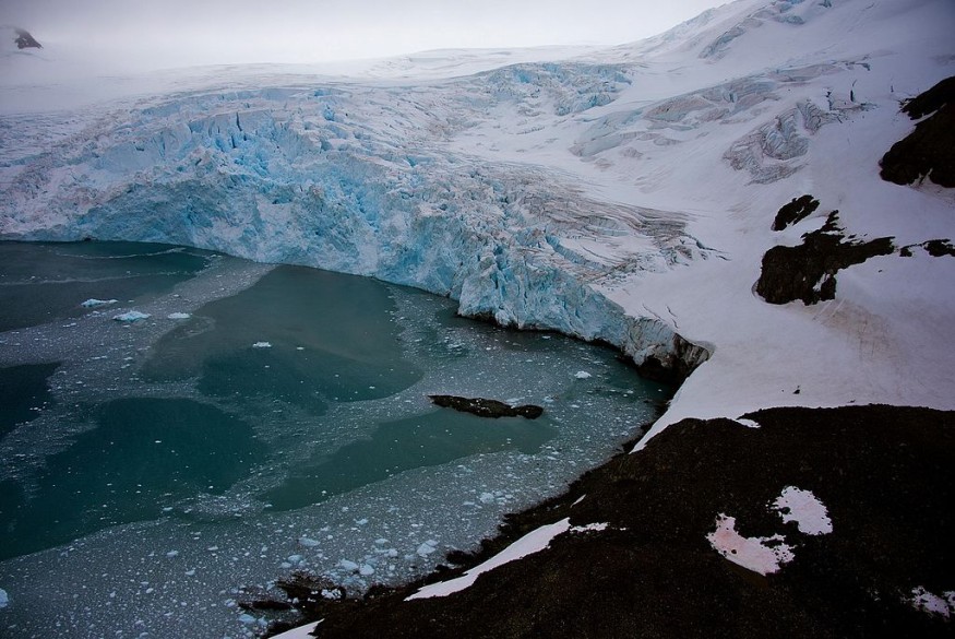
Antarctica is one of the world's last bastions of glaciers and frozen waters, a continent located in the southernmost portion of Earth.
For the past several decades, the vas icy region has been subjected to various scientific speculations as to what underlies beneath its ice sheet, including possible underground lakes, rivers, and oceans.
Although scientists have reportedly discovered underground liquid lakes and rivers, no individual or group has confirmed the existence of a large body of water under Antarctica before.
Now, a new study revealed for the first time that a giant groundwater system situated in sediments beneath the Antarctic ice.
Groundwater System
In the new paper published in the journal Science on Thursday, May 5, a research team mapped a massive, circulating saline groundwater system in the deep sediments under the West Antarctica ice stream.
The underground fossil seawater's location is sandwiched between the ice and bedrock.
The study started by mentioning subglacial sediments beneath the so-called Whillans Ice Stream consists of saturated, with a mixture of fossil seawater and fresh water from the glacier.
The study's authors mention this "groundwater" extends on a downward slope for more than a kilometer.
The system is reportedly containing 10 times more fluid volume compared to the "shallow hydrologic system" above, wherein both are actively exchanging water supply.
Also Read : More Underground Martian Water Reservoirs Found
Whillans Ice Stream
Based on the study, Antarctica has subglacial water systems that regulate fast-flowing ice streams, which are responsible for draining the ice sheet.
Scientific knowledge of these water systems is limited before.
As a result, the researchers came up with their findings by using "magnetotelluric" and "passive seismic data" from Whillans Ice Stream, which enabled them to observe, for the first time, deep sub-ice stream groundwater.
In medical terms, the method conducted in Whillans can be equated to magnetic resonance imaging (MRI), a medical technique that uses magnetic fields and radio waves to yield detailed images (usually in black and white) of the internal organs or tissues inside the body, as per the US-based academic medical center Mayo Clinic.
Mapping Instruments
Chloe Gustafson, the study's lead author, and a graduate student from the Columbia University - Lamont-Doherty Earth Observatory, stated the supply of groundwater the team has found was so significant to the point it also likely influences ice stream processes, as cited by Phys.org.
The study started to kick off in late 2018 when the U.S. Air Force LC-130 ski plane reportedly dropped Gustafson and his colleagues on the Whillans Ice Stream.
Their objective was to place the said geophysical instruments and map the sediments and their geological properties on the surface.
Prior to the study, airborne geophysics instruments can only reveal the outlines or borders of groundwater systems and not their water content or specific characteristics, as per Phys.org.
This is due to the thickness of ice in Antarctica and the depth of subglacial groundwater, making such airborne equipment inaccurate.
Potential Habitats
The discovery of the groundwater system under West Antarctica can serve as a potential alternative source of fresh water.
It also paved the way for the introduction of possible natural habitats that are currently unknown to scientists.
At a time when the system is still undiscovered, a study published in Nature Communications in 2015 suggests there are potential subsurface habitats under the Antarctic dry valley.
According to the study's authors, these systems may include liquid water, temperature, and salinity that can support life.
Related Article: The Diminishing California 'Fossil Water'
© 2026 NatureWorldNews.com All rights reserved. Do not reproduce without permission.


