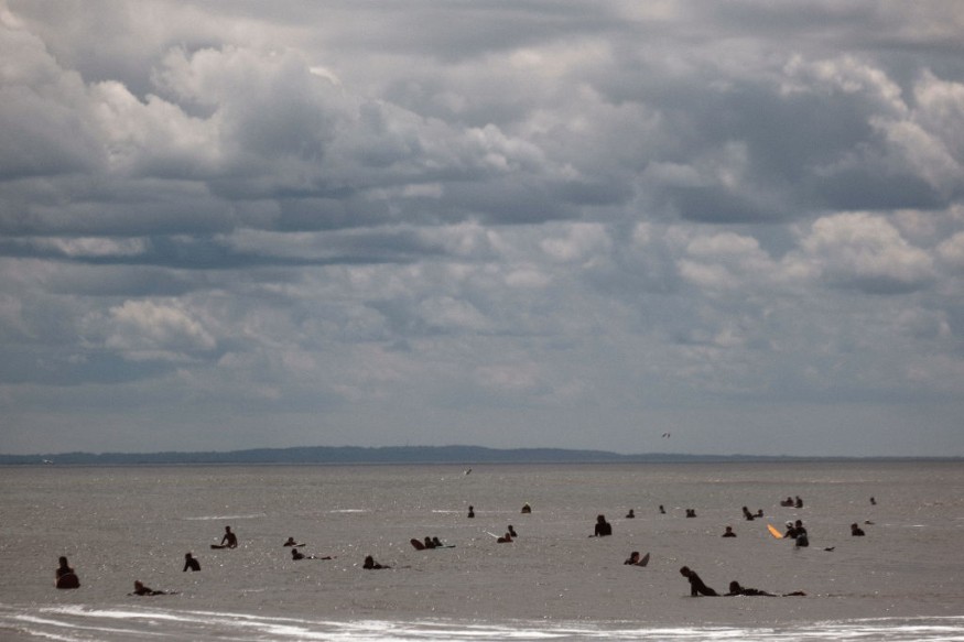
Atlantic hurricane season is befalling the US again this year, but the occurrence of storms may transpire earlier than we have previously thought, as per a new weather forecast.
As a result, US meteorologists have advised and warned Americans in hurricane-vulnerable parts of the country to brace themselves.
The weather prediction came as the country is currently in its spring season, which started on March 20, associated with a last-minute myriad of winter weather conditions, including cold temperatures and snowfall, in some parts of the US.
Preseason Hurricanes
As the Atlantic hurricane season is set to begin on June 1, AccuWeather forecasters stated the manifestation of preseason hurricanes is possible to form.
Consequently, people have been warned, especially those in the Eastern Seaboard and Southeast US.
While there has been an unprecedented increase in the number of named storms over recent years, the forecast said it can still be the same case for 2022.
In 2021, 21 named hurricanes, including four major storms, ravaged the US.
In 2020, 30 named storms wreaked havoc across the country-reaching a breaking record in terms of named storms within a hurricane season in modern US history.
Due to the high frequency of storms, meteorologists had to use the same storm name list for two years.
La Niña
The AccuWeather forecast indicated that the climatological phenomenon called La Niña, known for the cooling of surface ocean temperatures, is significantly contributing to these hurricanes.
In Spanish, it means "little girl," and it can change ocean temperatures.
According to the National Oceanic and Atmospheric Administration (NOAA), La Niña is a climate pattern wherein trade winds are stronger than normal.
Also called a cold event, El Viejo, or anti-El Niño, the phenomenon occurs on the tropical west Pacific coast of South America.
During a La Niña, the NOAA emphasized cold waters in the Pacific Ocean rush northward, causing drought in the Southern US while bringing torrential rain in the Pacific Northwest and Canada.
Furthermore, the US weather agency highlighted that the weather pattern can intensity a hurricane season.
Severe Weather Conditions
This means that the large-scale cooling effect of La Niña can increase the frequency of hurricanes in the US and fuel their strength.
The adverse weather phenomenon is responsible for some of the world's worst floods and other severe weather conditions.
In Australia, the said climate pattern has been blamed for causing extreme flooding and storms recently.
In late February, the heavy rain in New South Wales (NSW) and Queensland (QLD) was reportedly triggered by La Niña.
According to the World Economic Forum (WEF), the said phenomenon also caused "extra-large hailstones" in QLD and the worst flash floods in NSW over recent years.
It added that the aforementioned cold event can lead to serious repercussions in the areas of agriculture, disaster management, health, and water resources.
The WEF claimed that climate change purportedly exacerbated La Niña and its opposite, El Niño.
The latter is also a climate pattern but it causes the extreme warming of surface water temperatures in the eastern Pacific Ocean, as per the National Geographic Society.
© 2026 NatureWorldNews.com All rights reserved. Do not reproduce without permission.


