A change in the weather pattern will bring cold air and snow to the western United States this week, following a prolonged period of warm weather that included record-breaking temperatures for some.
California Weather
Over the weekend, temperatures in most of California, Nevada, and Arizona topped out at 15-20 degrees above usual for mid-February. A northward bulge in the jet stream has generated a dome of warm air over the region this past week, supporting dry weather, resulting in this temperature.
"The jet stream will progressively lunge southward on Monday and Tuesday, allowing considerably colder air to flow back into the western United States," said Alex Sosnowski, Senior Meteorologist at AccuWeather.
Several areas, particularly Southern California, Arizona, and the Four Corners, are likely to have another warm day on Monday. However, with the arrival of cooler air on Tuesday, a significant change will be on the horizon.
The large southerly dip in the jet stream will bring considerably cooler air southward, putting an end to California's record-breaking heat and causing temperatures to soon rise to average or perhaps slightly below average for a few days.
Temperatures in San Francisco may not reach the 50s by Tuesday, despite highs in the 70s this weekend and a new record for the all-time January high of 78 at midweek.
It will be a similar story in Los Angeles, following a particularly warm kickoff on Super Bowl on Sunday, where the temperature was 81 degrees; temperatures on Tuesday are forecast to peak only in the mid-60s with nighttime lows in the mid-40s.
Read also: Bomb Cyclone: Atmospheric Scientist Explains Everything You Need to Know About This Winter Storm
Prolonged Dry Season
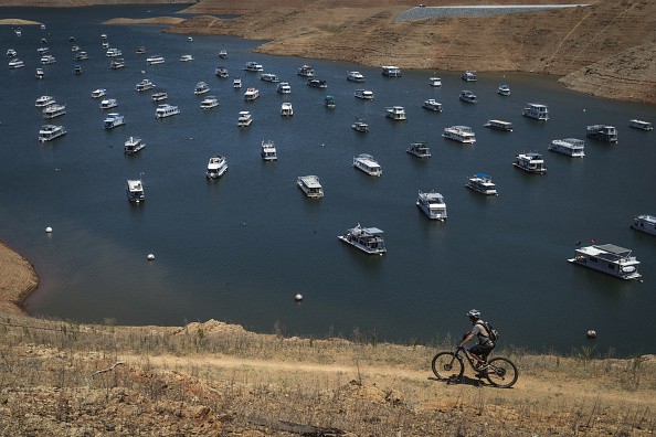
Over the last month, prolonged dry weather across the region has caused the snowpack to shrink in the mountains and water reservoir levels to plummet below average for this time of year. Because of that, many may be wondering if the upcoming changes in the pattern will come with a meaningful chance of precipitation.
This storm will have a different set-up than normal storms that arrive from the Pacific Ocean. According to Sosnowski, it will be projected to move south-eastward along the West Coast, removing most moisture that comes from the Pacific Ocean from the storm.
As a result, just a few rain showers are expected to occur.
According to Senior Meteorologist Brett Anderson, "even though rainfall is likely to be limited to sporadic showers along the California coast and over the interior valleys into Wednesday, any short-term ground dampening that can occur would be welcomed; to reduce the risk of wildfire ignition."
Moisture
Because of the combination of oily residue and moisture, when rain showers manage to wet the pavement, driving conditions might become extremely slippery for a short time. When going on highway ramps or rounding curves, these conditions will need a longer stopping interval at junctions and a slower speed when rounding bends.
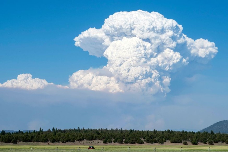
Thunderstorms are expected to hit California and Nevada on Tuesday and parts of Utah, Arizona, and New Mexico on Tuesday and Wednesday, with the possibility of small hail. As the storm moves through, another round of strong winds is forecast, which will assist in swiftly drying off wet areas and increase the risk of fire.
Next week, the change in the weather pattern will bring cooler and more seasonable weather to the mountains and passes. On Wednesday, cold air with scattered snow is expected to sweep through the western half of the country throughout the day.
In most cases, snowfall in the Cascades, Sierra Nevada, mountains in northern Arizona, and the Wasatch Range in Utah will be restricted to a few inches.
Due to the slick conditions on the roads in Sierra Nevada, motorists may need to add time to their journey. From Monday night through Tuesday, a little snow is expected to fall above Donner Pass along Interstate 80. On New Year's Eve, the pass was covered in more than a coating of snow.
Weather Pattern
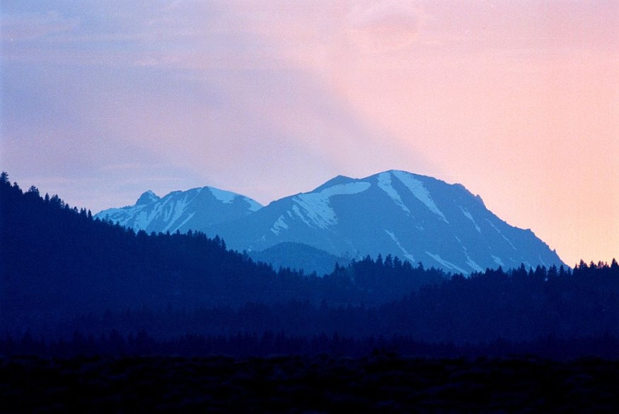
The fast-moving storm's pattern and lack of moisture will not be enough to produce much-needed heavy snow to the Sierra Nevada next week. However, with lower and more seasonable temperatures in the 20s and 30s expected in the high country, the snowmelt will slow and stop significantly.
There might be additional chances for rain and snow since the weather pattern isn't predicted to shift significantly for the rest of the month.
"From Feb. 21-23, there may be a similar storm that travels from the Northwest to the interior Southwest," Lead Long-Range Meteorologist Paul Pastelok said, adding that while moisture may be limited, there is still the possibility of temperature fluctuations, sporadic showers, some mountain snow, and gusty winds.
Although the team of meteorologists expects further storm activity by the end of winter and early spring, the region's rainy season might still be short of what it needs to get through the summer and autumn.
For more news about the environment , don't forget to follow Nature World News!
© 2026 NatureWorldNews.com All rights reserved. Do not reproduce without permission.


