According to AccuWeather analysts, snow fans in New England should rejoice, as the chances of a large blizzard during the last weekend of January are strong. The possibility is less definite in the mid-Atlantic, but meteorologists warn that the storm may deliver significant snow to the region in one scenario they're considering.
"A snowfall is expected to hit the East Coast this weekend," according to Chief On-Air Meteorologist Bernie Rayno.
Storm Incoming

According to all indications, a storm is expected to form and strengthen the southern Atlantic coast later this week. As it proceeds northward into New England, the storm might grow enough to be designated as a bomb cyclone between Friday and Saturday.
A bomb cyclone, also known as bombogenesis, happens when a storm's central pressure drops by 0.71 inches (24 millibars) or more in less than 24 hours.
The winds speed up and rush in closer to the storm's center when the pressure drops. Winds may carry a lot of moisture with them and release it in the form of a lot of rain. Heavy snow and blizzard conditions might develop if the air temperature is low enough.
"The time of year and present trend are ideal for a blizzard on the East Coast this weekend," Rayno added.
Snowstorm Season
Snowstorms are most likely in the coastal Northeast from late January to early March. A strong jet stream is frequently present, and storms usually turn northward along the Atlantic coast.
Colder waters in early January and December allow storms to track in a way that increases the likelihood of heavy snow along the I-95 corridor, rather than traveling too far west and bringing rain or a wintry mix.
"There have been multiple dips in the jet stream over the Midwest and Northeast this winter, including the past two weeks, and most of the storms that have developed near the southern Atlantic coast have been pushed out to sea," Rayno explained.
"The late-week pattern looks a little different in that the jet stream dip will orientate in such a way that it will help guide the storm northward along the coast and not out to sea."
A severe nor'easter is expected to dump a lot of snow in New England. However, forecasts are still keeping a careful eye on the storm's possible route and how close it will get to the coast, which will greatly influence the prediction for the mid-Atlantic and central Appalachians.
Rayno added that "all existing information shows that the storm will be close enough for at least a significant New England blizzard."
Affected Area
New England and nearby portions of Canada are set to bear the brunt of the storm's ferocity in terms of powerful winds and heavy snow.
The storm's winds alone could cause power outages and coastal flooding, while heavy snow and significant blowing and drifting snow could cause serious transport delays in certain locations. The storm may quickly bring regular gusts of 40 to 60 mph or more in coastal areas.
However, the storm's exact path will decide not only which parts of New England will be buried under a foot or more of snow but also whether parts of the mid-Atlantic area will be buried under a foot or more of snow or face growing dry and cold winds from the storm's backside.
"There is an opportunity for a more western track," Rayno continued, "which would send the heavy snow danger farther west over the mid-Atlantic and Northeast, as well as offer the prospect of a rain/snow mix or perhaps simply rain along parts of the coast."
A 50-mile westward change in the storm's route may entail heavy snow and high winds for areas from the Delmarva Peninsula to much of New Jersey and southeastern New York, including New York City and Philadelphia, causing substantial travel delays. A similar track might enable rain or sleet to mix in on Cape Cod, Massachusetts, and Boston and Long Island, New York.
A track 50 miles to the east, on the other hand, may bring a full-fledged snowstorm to Boston and Cape Cod, but very little, if any, snow to the mid-Atlantic.
Snow may fall in eastern Carolinas, but the exact route of the storm as it travels offshore of the southern Atlantic coast this weekend will determine how much snow falls. Late this week, there's also a chance of scattered snow in the Tennessee Valley and the southern Appalachians.
Travel Delays

As the jet stream continues to dip towards the East, Nashville and Atlanta may get a slight coating of snow Thursday night into Friday.
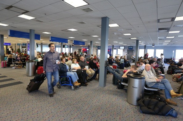
As the approaching storm displaces personnel and aircraft, flight delays and cancellations may spread outward from New England and even the mid-Atlantic to the rest of the country.
For more news about the environment , don't forget to follow Nature World News!
© 2026 NatureWorldNews.com All rights reserved. Do not reproduce without permission.


