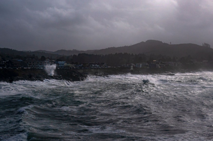
Winter storms that form in the Atlantic off the coast of the United States can build swiftly and bring heavy winds with them. Bomb cyclones are the name for such powerful storms.
They can be destructive if they follow a route through heavily populated parts of North America, dropping heavy snow and blizzard-like winds. According to a research from the Journal of Applied Meteorology and Climatology published in 2021, around 7% of winter storms formed in North America between 1979 and 2019 were bomb cyclones.
Developing Bomb Cyclone
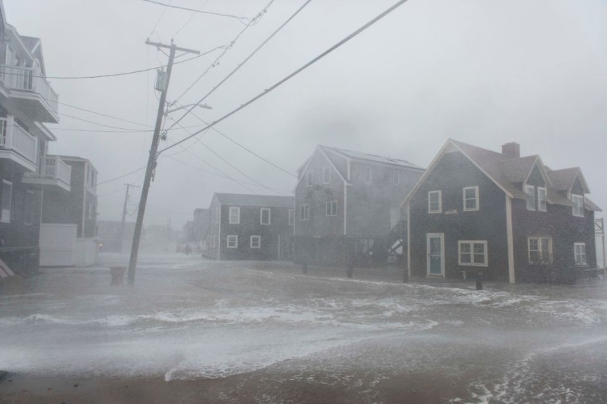
According to forecasters, the storm, a Nor'easter, is expected to turn into a bomb cyclone by Saturday.
A bomb cyclone is a storm that forms over the ocean or off the coast in the winter. It starts in temperate latitudes and quickly intensifies, with the air pressure at its core rapidly lowering, a process now known as "bombogenesis."
According to the Wall Street Journal, a bomb cyclone is a huge, violent midlatitude storm with low pressure at its center, weather fronts, and a wide range of related phenomena, including blizzards, severe thunderstorms, and heavy precipitation.
When its core pressure drops rapidly-by at least 24 millibars in 24 hours-it becomes a bomb. In a 1980 research, two well-known meteorologists, Fred Sanders and John Gyakum named this pattern.
Going Through Bombogenesis
When cyclones "bomb" or goes through bombogenesis, it means it has access to the best ingredients for strengthening, such as a lot of heat, moisture, and rising air. Most cyclones do not intensify this quickly. Bomb cyclones put forecasters on high alert because they can do severe damage.
The Eastern Seaboard of the United States is one of the areas where bombogenesis is most prevalent. Storms in the midlatitudes-a temperate zone north of the tropics encompassing the entire continental United States-get their energy from substantial temperature differences.
There is a natural temperature difference between the chilly land and the warm Gulf Stream current along the East Coast during the winter.
Heat and moisture are more abundant over the warmer ocean. The lower atmosphere becomes unstable and buoyant when chilly continental air passes overhead and generates a big temperature differential. Clouds and precipitation occur as air rises, cools, and condenses.
Jet Streaks
Intense cyclones also need suitable surface conditions. Strong upper-level winds, commonly known as "jet streaks," and high-amplitude waves embedded inside storm tracks can assist in forcing air upward.
According to the NWS, a powerful jet streak passes over a growing low-pressure system forms a feedback cycle, causing warm air to climb faster and faster. This permits the pressure in the system's core to decrease rapidly. Winds around the storm become stronger as the pressure decreases.
In essence, the atmosphere attempts to balance pressure disparities between the system's core and the surrounding area.
For more news about the environment , don't forget to follow Nature World News!
© 2026 NatureWorldNews.com All rights reserved. Do not reproduce without permission.


