Over the past seven days, there were more than 180 earthquakes recorded in Puerto Rico, as per the United States Geological Survey (USGS).
Despite the high number of earthquake incidents, the intensity of these earthquakes is relatively low-ranging between 2.0 and 4.1.
In the past, earthquakes in Puerto Rico have caused widespread damage, including power outages, and casualties.
More than 180 Earthquakes in the Past Week
The strongest of these earthquakes had a magnitude of 4.1 and 3.8.
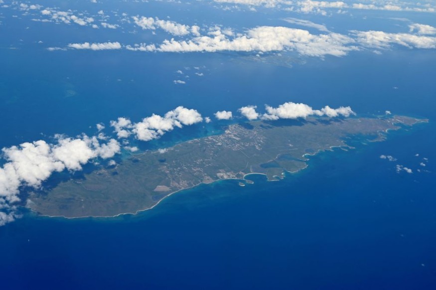
Over the past 24 hours since Tuesday, the USGS monitoring map showed that most earthquakes in Puerto Rico occurred in the towns of Ensenada and Yauco.
Majority of these earthquakes occurred off the coast of Puerto Rico.
There were no immediate reports of casualties or damage following the week-long earthquakes in Puerto Rico.
However, the series of earthquakes over recent days indicate that they will likely continue in Puerto Rico in the coming days, as per USGS data.
Based on the US tsunami warning system of the National Oceanic and Atmospheric Administration and the National Weather Service, there is currently no tsunami threat, tsunami advisory, tsunami watch, or tsunami warning in place in Puerto Rico or its surrounding regions.
Earthquake Swarms and Previous Events
The recent earthquakes in Puerto Rico are considered to be earthquake swarms instead of aftershocks.
According to the USGS, an earthquake swarm is short-lived and is a low-intensity earthquake without a main identifiable earthquake-with shock or tremor.
Earthquake swarms can last for days or months.
On the other hand, the USGS defined an aftershock as an occurrence of a sequence of earthquakes following immediately a main identifiable earthquake.
Although aftershocks are the aftermath of the main earthquake, the intensity of aftershocks can sometimes be stronger than the main earthquake.
Since December 2019, Puerto Rico has been experiencing ongoing earthquake swarms with more than 9,000 small earthquakes recorded.
In January 2020, a 6.4-magnitude earthquake struck Puerto Rico, resulting in multiple. casualties and millions of people across the island with no electricity and water services.
Caribbean Plate and its Geological History
The earthquakes in Puerto Rico are taking place near the northern edge of the Caribbean Plate, which consists of a mostly oceanic tectonic plate under Central America and the Caribbean Sea-located off the northern coast of South America.
The Caribbean Plate is situated along the borders of the Cocos Plate, North American Plate, the South American Plate, and the Nazca Plate.
These tectonic plates in the Americas have a dynamic seismic activity resulting in frequent earthquakes-sometimes tsunami threats and volcanic eruptions.
It is unclear when and how the Caribbean Plate formed.
However, it is scientifically believed the Caribbean Plate originated in the Pacific Ocean during the late Jurassic period, as per the book Regional Geology and Tectonics: Principles of Geologic Analysis published in 2012 and cited by the ScienceDirect website.
The Jurassic period spanned approximately between 199.6 million to 145.5 million years ago.
© 2026 NatureWorldNews.com All rights reserved. Do not reproduce without permission.


