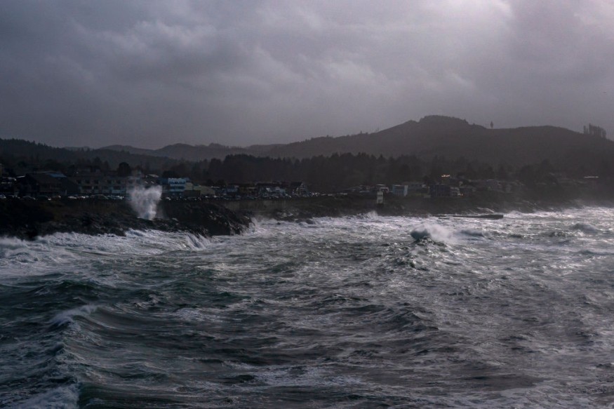
An unusual storm between Hawaii and California in the Pacific Ocean is being watched for signs of tropical cyclone development.
Keeping an Eye on the Development
In Miami, Florida, the National Hurricane Center (NHC) keeps an eye on the Pacific disturbance. On the Big Island of Hawaii, a well-defined region of low pressure producing gale-force winds is centered a little over 1,000 miles east-northeast of Hilo.
According to the NHC, shower and thunderstorm activity has lately grown in coverage and organization around the center.
While environmental circumstances appear to be only marginally favorable for further development, the NHC believes that if current activity continues, a short-lived subtropical or tropical cyclone might emerge within the next day or two. Environmental conditions are projected to deteriorate by Friday, making further work unfeasible.
Related Article : As Climate Change Worsens, West Coast Should Brace for More Blackouts and Higher Power Costs
Forecasts

Computer forecasts are split when it comes to the storm's future potential. Meteorologists use many computer models to aid weather forecasting, including the GFS and ECMWF.
While meteorologists have several tools to make, weather forecasts, the ECMWF from Europe and the GFS from the United States are two of the most commonly used global forecast models. While the models use many of the same beginning material, digesting it and calculating alternative outcomes differs.
In some instances, one is superior, but the opposite is true in others. No model is always "correct." Aside from the ECMWF and GFS models, various models from different nations, academic organizations, and commercial businesses are also considered when formulating forecasts.
This disturbance is currently dissipating, according to the GFS, as its remnants slide south of Hawaii's Big Island. Although some residual moisture might reach Hawaii in time, the GFS predicts more waves than a cyclonic hazard.
The ECMWF's answer, on the other hand, is a little more robust, implying a more developed region of low pressure sliding onto Hawaii from the north over time. While this model's trajectory does not indicate a hurricane, it might be a more powerful system with more rain and wind if it materializes.
In the Meantime
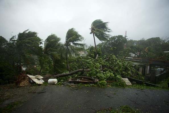
For the time being, the National Hurricane Center will keep an eye on this odd storm. While the Eastern Pacific Hurricane Season doesn't begin until May 15, and the Central Pacific Hurricane Season doesn't begin until June 1, tropical or subtropical cyclones form in the "off season."
While one forming in the Pacific between Hawaii and California right now would be extremely rare, it's not impossible: the National Hurricane Center says there's a 40% chance that something will form in the next 48 hours.
For similar news, don't forget to follow Nature World News!
© 2026 NatureWorldNews.com All rights reserved. Do not reproduce without permission.


